
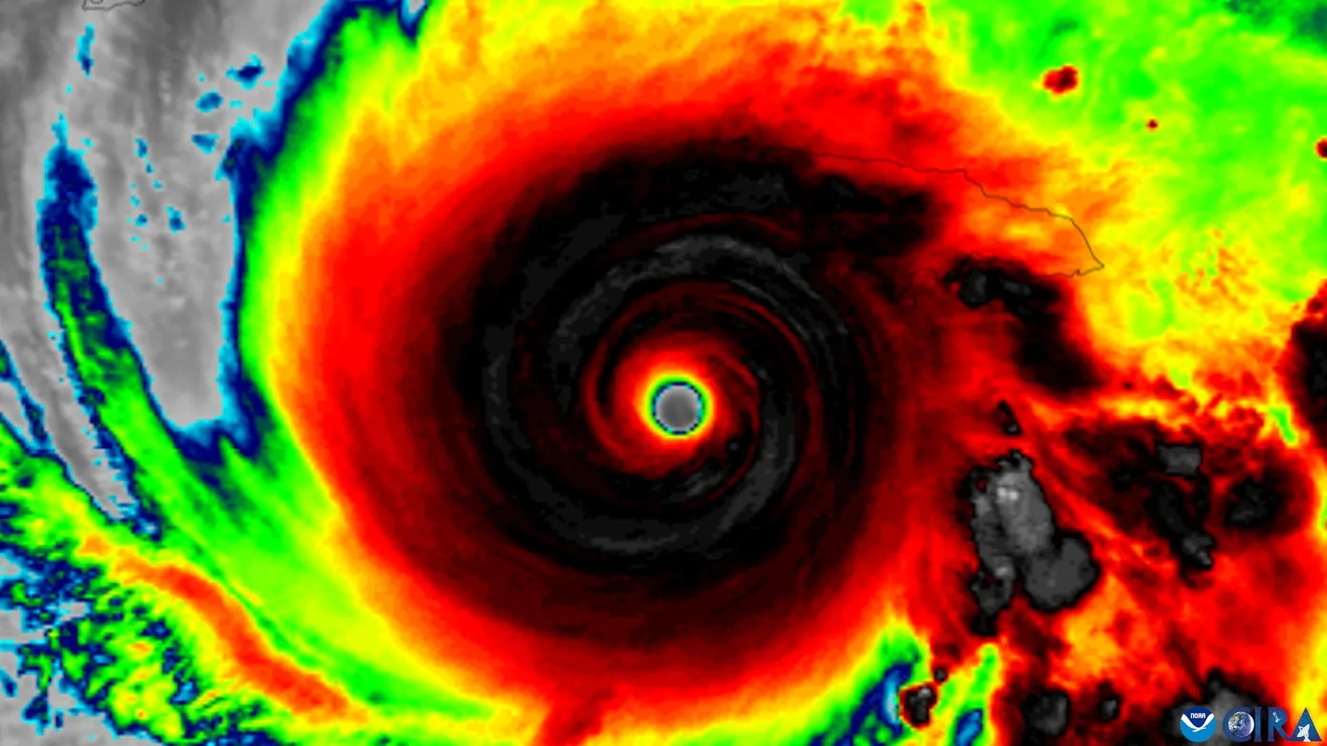
When it comes to the life cycle of a tropical cyclone, atmospheric scientists have long understood a fundamental rule of thumb: a storm generally needs to become vertically organized before it can grow much stronger. In practical terms, this means that a cyclone’s rotating centers at different levels of the atmosphere must line up cleanly rather than remaining sheared, tilted, or disjointed away from one another.
Now, utilizing nearly three decades of comprehensive observations gathered by NOAA Hurricane Hunter aircraft, a team of researchers has pinpointed four specific features that appear to play a decisive role in helping tilted tropical cyclones become vertically aligned. Once this alignment takes place, the storms become significantly more capable of rapid intensification, posing heightened threats to coastal regions.
The research was spearheaded by scientists at the University of Miami Rosenstiel School of Marine, Atmospheric, and Earth Science, who collaborated closely with colleagues at NOAA’s Atlantic Oceanographic and Meteorological Laboratory. Their newly published findings suggest that a successful structural alignment is rarely the result of a single isolated condition. Instead, it depends on a complex interplay of several factors working in tandem, including the internal thermodynamic and kinematic structure of the storm, the direction and magnitude of surrounding winds, and broader environmental conditions encompassing the moving cyclone.
Gaining a deeper understanding of this critical transitional phase is of paramount importance for both meteorologists and emergency management personnel. Rapidly intensifying tropical storms and hurricanes can catch forecasters and the public off guard, leaving coastal communities and emergency managers with dangerously narrow windows of time to respond. If weather forecasters can recognize earlier in a storm’s lifecycle when a poorly organized tropical cyclone is developing characteristics favorable for strengthening, they may be able to provide vulnerable populations with vital additional hours—or even a full day—for evacuation decisions, property protection, and other emergency preparations.
"A tropical cyclone has to stand up straight before it can intensify," said Michael S. Fischer, lead author of the study and an assistant professor in the Department of Atmospheric Sciences at the Rosenstiel School. "Strong winds higher in the atmosphere can push the top of a storm’s circulation away from the center near the ocean surface. Until those centers come back together, the storm usually cannot intensify substantially."
Four Signs That Favor Storm Alignment
To unravel the complex mechanics of how and why certain storms manage to recover from a tilted state while others dissipate or remain disorganized, the research team carefully evaluated characteristics that determine whether a leaning tropical cyclone is likely to straighten vertically.
The first essential feature identified by the researchers is a compact, tightly organized circulation located close to the ocean surface. The second feature is a storm tilt that is positioned favorably relative to the prevailing vertical wind shear in the local environment. The third characteristic involves stronger rising air and heavier, more robust rainfall concentrated near the storm’s lower-level center. Finally, the fourth requirement is an overarching environment that supplies warm ocean water, plenty of atmospheric moisture to fuel convection, and relatively weak winds in the middle levels of the troposphere.
In meteorological parlance, the term "tilt" is used to describe the horizontal separation that frequently develops between a tropical cyclone’s distinct circulation centers at lower and middle altitudes. This structural displacement is often driven or exacerbated by vertical wind shear, which refers to changes in wind speed or direction with increasing height in the atmosphere. Strong wind shear can severely interfere with a cyclone’s internal organization by persistently pushing the upper portions of its circulation away from the anchor point closer to the ocean surface, essentially decapitating the storm’s convective engine and preventing the efficient release of latent heat.
Nearly Three Decades of Hurricane Hunter Data
To investigate which storms successfully overcame these disruptive environmental forces and became vertically aligned, the researchers turned to an extensive historical repository known as the Tropical Cyclone Radar Archive of Doppler Analyses with Recentering, or TC-RADAR.
Developed by Fischer and his research collaborators, this comprehensive database includes 1,510 high-resolution radar analyses gathered firsthand by NOAA Hurricane Hunter reconnaissance aircraft across 28 distinct hurricane seasons, spanning a 28-year period from 1997 through 2024.
Having access to such an expansive and detailed observational record allowed the investigative team to conduct rigorous comparative analyses, contrasting storms that eventually achieved vertical alignment with those that remained persistently tilted and structurally compromised throughout their lifecycles.
"The storms that aligned already looked different about a day beforehand," said Fischer, who also serves as a core faculty member of the Frost Institute for Data Science and Computing at the University of Miami. "They had stronger, more tightly wound circulations near the surface and more widespread, vigorous thunderstorms lifting air near that center. Our findings suggest those thunderstorms are not simply a sign of organization. They may also help pull the storm’s leaning circulation upright."
These insights strongly imply that thunderstorms developing in the immediate vicinity of the lower-level circulation play a far more active, dynamic role in storm organization than previously understood. Rather than acting merely as a passive, visible symptom that strengthening is already underway, vigorous convection appears to actively participate in the physical processes that pull a leaning vortex back into alignment.
Earlier Clues That a Storm Is Becoming Organized
NOAA reconnaissance aircraft already routinely collect many of the critical measurements highlighted by the new study during their operational storm penetration flights. These standard observations include low-level wind strength, overall storm size, the spatial coverage and intensity of thunderstorms, and the directional vector of a cyclone’s tilt.
Consequently, the newly identified features could soon assist scientists and operational forecasters in evaluating whether high-resolution numerical hurricane forecasting models are accurately simulating the complex physical processes that allow tilted storms to successfully become vertically aligned.
Furthermore, the research may provide operational forecasters with invaluable early clues regarding which disorganized tropical disturbances are beginning to transition into a thermodynamic structure that is far more favorable for rapid intensification.
"Even a modest increase in forecast confidence a day earlier can provide more usable preparation time for communities in a storm’s path," Fischer noted. "This study gives us real-world evidence about what separates a storm that is becoming organized from one that remains tilted and less capable of strengthening."
The detailed study, titled "To Align or Not to Align? That Is the Question," was published in the Journal of Geophysical Research: Atmospheres.
Alongside lead author Michael S. Fischer, the paper’s co-authors include George R. Alvey III of the Cooperative Institute for Marine and Atmospheric Studies and NOAA’s Atlantic Oceanographic and Meteorological Laboratory; Deelan Jariwala, who earned bachelor’s degrees in meteorology and mathematics from the University of Miami in the spring of 2026; and Paul D. Reasor of NOAA’s Atlantic Oceanographic and Meteorological Laboratory Hurricane Research Division.
The collaborative research project was supported by funding from the National Science Foundation under award No. 2241605.