
Two years ago, John Lowrey woke to the terrifying roar of water violently surging into his home. A 65-year-old retiree and father of five, Lowrey rushed toward his basement just as a three-foot wave slammed through the door, tearing it entirely off its hinges. Frigid water crashed through his bay windows, ruthlessly drowning the family’s piano and cherished heirloom cedar chests. In a frantic bid to save what they could, his 29-year-old daughter desperately piled family photos on a bed until the mattress itself began floating away.
The inundation ruined critical documents, household appliances, and home insulation, leaving the family with $150,000 in repair costs. "We lost everything," Lowrey recalled.
What Lowrey did not know at the time was that the devastating flood that wrecked his house would return the very next summer. And then the summer after that.
Alaska is currently warming at two to three times the global average, and this rapid climate shift poses a uniquely severe risk to the state capital of Juneau. Since 2011, meltwater and heavy rain accumulating in a side basin adjacent to the Mendenhall Glacier have periodically flooded residential neighborhoods stretching along the Mendenhall River. For more than a decade, these floods remained relatively small and manageable. Then, in 2023, the river reached an unprecedented record high of nearly 15 feet. New, alarming benchmarks followed in 2024 and again in 2025.
Another destructive flood arrived last month, and scientists warn that residents should expect them to return annually for decades to come.
This grim reality has forced Juneau to confront a complex, compounding crisis that communities worldwide are increasingly facing: How do you adequately prepare for a natural disaster when you know with absolute certainty that it will keep coming back?
A Community Adapting to the Inevitable
Juneau is beginning to find an answer. Scientists and local municipal officials are putting increasingly sophisticated, real-time flood forecasts directly into the hands of ordinary residents. An online dashboard rolled out in 2025 translates complex glacier and hydrology data into actionable information that people can actually use. Residents can look at the tool to decide when to secure their belongings, prepare their properties for rising water, or evacuate their homes entirely.
These forecasts are fundamentally changing how Juneau responds to the environmental threat by providing both municipal officials and thousands of people living within the flood zone crucial extra hours to act before the water arrives. This innovative approach could offer vital lessons far beyond Alaska as communities elsewhere contend with increasingly frequent floods, hurricanes, and other climate-driven disasters that strike year after year.
Juneau sits amid the rugged mountains and majestic wilderness that define much of southeast Alaska. Although it serves as the state capital and is home to 32,000 residents, the city is geographically isolated and accessible only by air or sea. Lowrey’s family has deep, generational roots in this wild landscape. He recounted his recent ordeal while standing beneath the hide of a brown bear that his grandfather shot decades ago. Even for a family so accustomed to the harsh frontier, the flood was deeply traumatic. His daughter still tears up when thinking about the morning the water breached their walls.
"We didn’t know anything," Lowrey said. "We didn’t understand the nature of the basin. We thought it was a 100-year flood."
They quickly learned otherwise. Each summer, the basin beside the Mendenhall Glacier fills rapidly with accumulating meltwater and rain. The massive glacier acts as a natural dam until enough water accumulates to trigger a catastrophic flood downstream. In 2023, one of those sudden floods inundated roughly two dozen homes, sweeping an entire house directly into the river and causing millions of dollars in structural damage. Just a year later, another flood damaged nearly 300 homes.
Glacial outburst floods are not entirely unique to Juneau; they occur in Iceland, the Alps, the Himalayas, and other mountainous regions around the world with retreating glaciers. In Alaska’s capital, however, residential neighborhoods sit directly in the direct path of the surging water, leaving thousands of everyday residents uniquely exposed to the recurring threat.
"For Sale" signs now dot the valley, but it has become a desperate buyer’s market within the flood zone. Those trapped within it have had little choice but to adapt to the relentless annual floods. Some homeowners have resorted to digging moats around their properties. Others have physically raised their houses several feet above the ground on stilts or blocks. Meanwhile, the city has constructed roughly six miles of temporary and permanent barriers between the Mendenhall River and vulnerable residential areas.
The Science Behind the Surge
Amid the lingering uncertainty, the online dashboard has become an invaluable source of comfort and practical guidance. Mark Miller, a 75-year-old resident, checks the portal every single day, anxiously waiting for the warning he knows is inevitably coming.
"It’s pretty much on my mind constantly," Miller said.
Two years ago, the terrifying sound of water pouring into the crawl space beneath his house jolted Miller awake in the middle of the night. When he ventured out to his garage and opened the door, a wall of gray slush surged toward him.
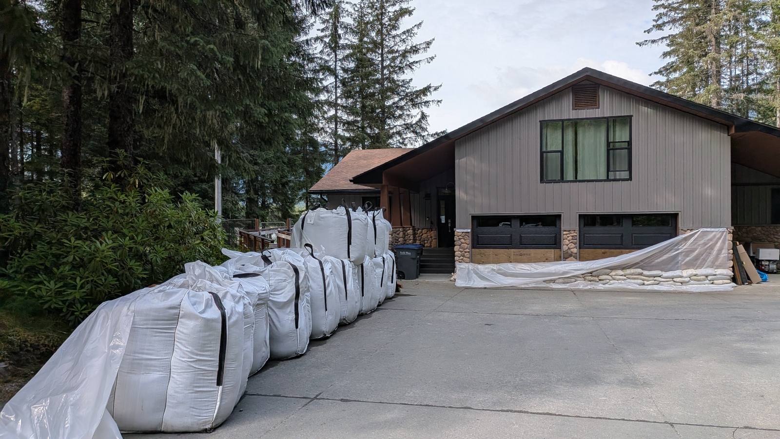
By the time the water finally receded, 16 inches of standing water filled his garage, and thick mud and silt streaked the interior walls. Putting his home back together took seven months of arduous labor and cost $35,000 out of pocket. Tears still fill his eyes at the memory of the destruction. Now, he prepares for each flood season by placing heavy sandbags on both sides of his exterior doors to hold them firmly in place against the immense pressure of rising water. He constantly turns to the dashboard to understand what happened and what is heading his way.
"It can accurately predict the height of glacial floods within hours, which is pretty amazing," he said.
Last year, more than 15,000 people accessed the dashboard for real-time updates during the flood season. In addition to dynamic flood maps and precise forecasts, the platform offers an interactive explanation of how the basin formed and the physical mechanics behind glacial outburst floods. It was through this tool that Miller finally learned the exact science behind the water that had invaded his home.
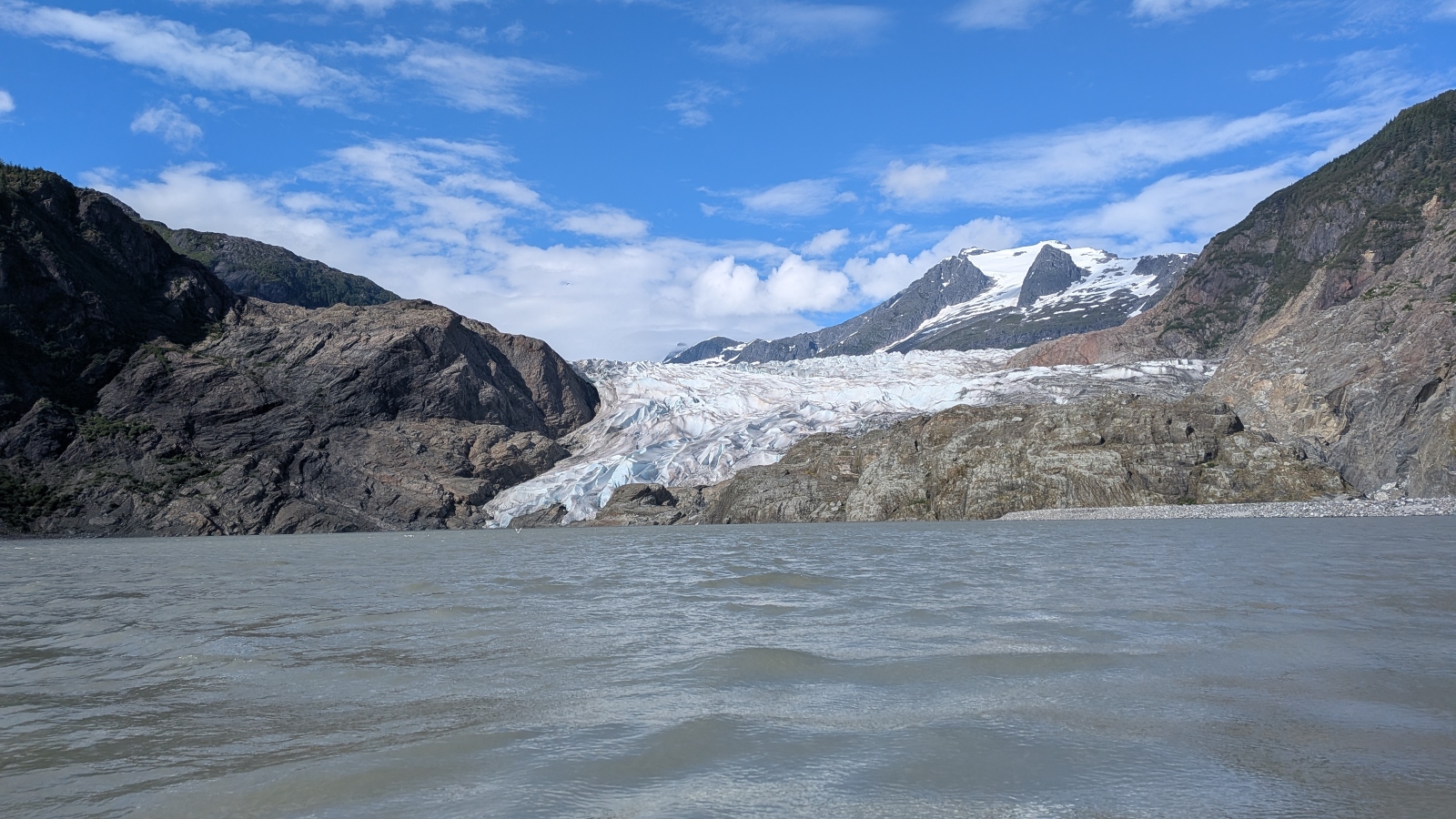
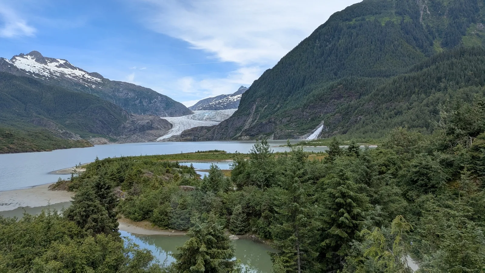
The Mendenhall Glacier peeks out behind verdant mountains in the summertime—a vast, frozen expanse streaked with brilliant blues and grays that has long drawn tourists and scientists alike to Alaska’s capital. The basin beside the glacier is known locally as Suicide Basin. As water accumulates there over the warm months, the hydro-static pressure can lift the massive expanse of ice, creating a sudden sub-glacial drain that sends a roaring torrent rushing toward the Mendenhall River. During a large outburst flood, the basin can release upward of 15 billion gallons of water—enough to fill 22,000 Olympic-sized swimming pools.
The Mendenhall Valley first flooded in 2011, but at the time, scientists had very little idea why it was happening. Researchers hopped in a helicopter to investigate from the air and discovered that water in the basin behind the glacier was dramatically leaking beneath the ice.
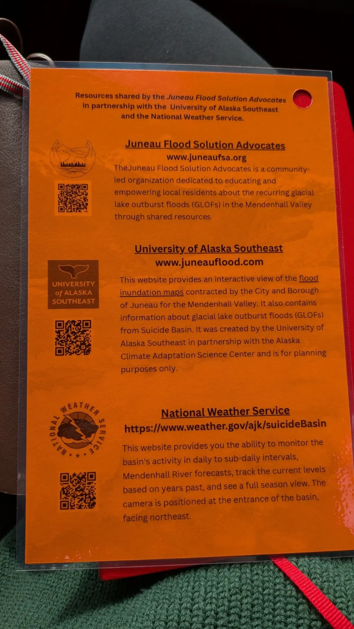
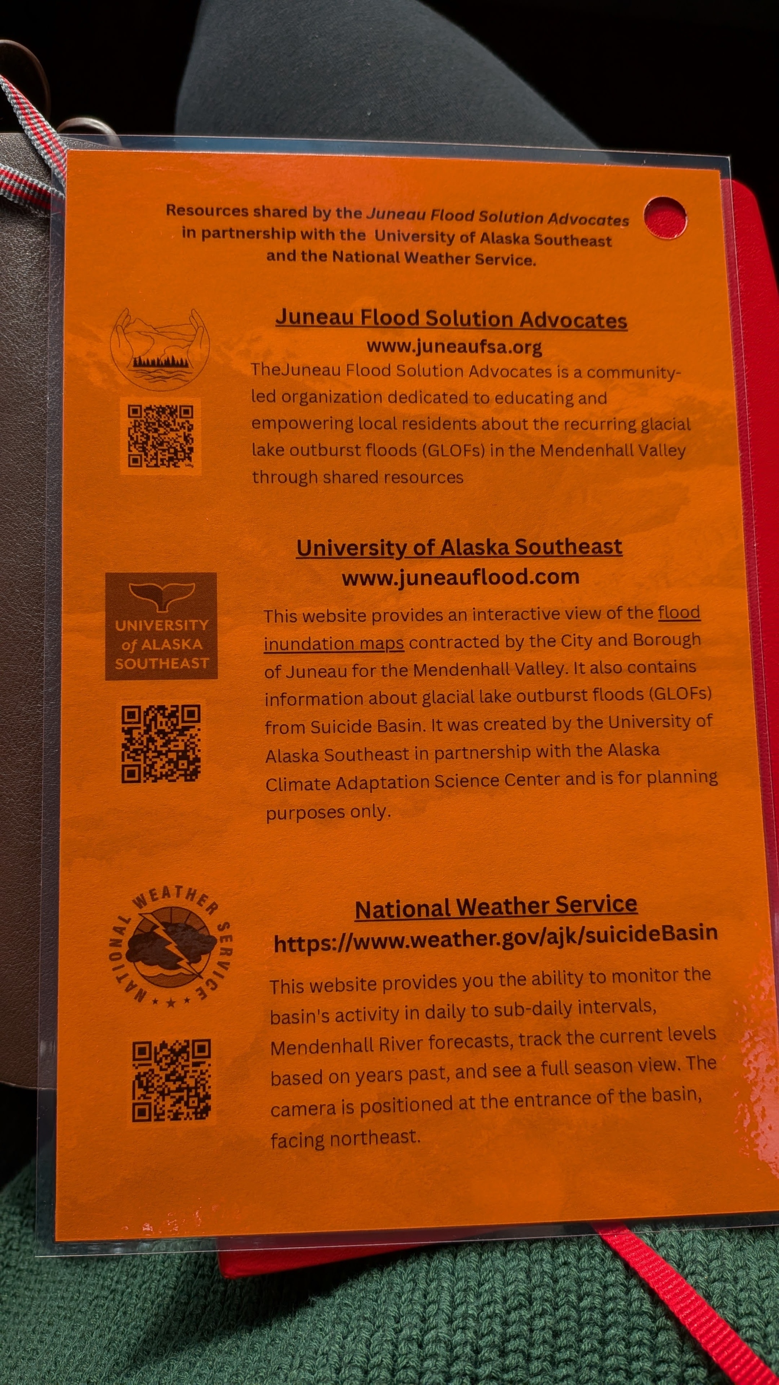
Seeking a reliable way to communicate directly with at-risk residents, researchers at the University of Alaska Southeast and the Alaska Climate Adaptation Science Center collaborated closely with municipal authorities to develop the dashboard. They then worked hand-in-hand with local residents to distribute flyers and refrigerator magnets featuring QR codes that directed people straight to the online portal.
Eran Hood, one of the environmental scientists who helped develop the tool, sees a broader, global lesson in Juneau’s hard-won experience.
"You can do the same thing with hurricanes, storm surges," Hood said. "You could do the same thing with floods on rivers like the Mississippi." The ultimate goal, he noted, is to "find the best way to provide people with information that gives them the power to make decisions. That to me is the biggest lesson from this."
Shaping the City’s Response
The real-time flood data and predictive forecasts are actively shaping the city’s defensive response as well. In 2024, municipal officials began utilizing the data to determine the optimal locations for building miles of temporary walls along the Mendenhall River to shield residential properties from future catastrophes.
On a rainy July afternoon, Nate Rumsey, deputy director of engineering and public works for the city, stared up at towering stacks of army-green, dirt-filled barriers lining the riverbank to protect residents from an impending deluge that arrived on August 13.
Another severe flood "could put the viability of our community at risk," Rumsey said gravely.
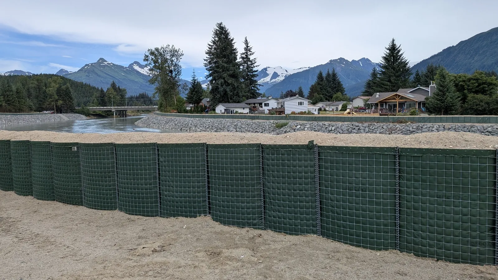
The defensive structures, known as Hesco barriers, snake through the town, running directly behind the local library and an elementary school and passing closely alongside homes, sometimes coming within mere inches of living room windows. The fabric-lined, wire-mesh baskets are filled with local sand and gravel, connecting neatly like massive Lego blocks, stacked two, three, or even four high. Rumsey spent months working in coordination with the U.S. Army Corps of Engineers to carefully map out and oversee their complex installation.
The dashboard helped homeowners watching soldiers carry heavy barriers into their backyards understand the severe threat they faced and the rationale behind the city’s aggressive response, Rumsey noted. Residents could use the online tool to visualize how high the floodwaters might rise on their specific property without the barriers in place, helping them grasp exactly what the engineering efforts were designed to prevent.
The dashboard has fundamentally transformed how residents perceive and understand the dynamic landscape surrounding them.

Alyssa Fischer never gave much thought to the towering glacier looming over her house until she woke up at 2 a.m. to find her residential street had transformed into a rushing river.
As the icy water rolled aggressively into her garage and tore away her front porch, the 33-year-old single mother decided it was time to evacuate. She grabbed her 8-year-old daughter and 4-year-old son, carrying them through knee-deep, freezing currents while shouting to wake her sleeping neighbors. As water rose menacingly above the wheel wells of her red pickup truck, she hoisted her pet duck, quail, and goose into the truck bed to keep them safe.
Like so many others in Juneau, Fischer now effortlessly speaks the technical language of the glaciologists and hydrologists studying the ice above her home. She talks fluently about how shifting rainfall patterns can alter a flood’s timeline and how many cubic feet of water could spell disaster for her family and neighbors. During the height of flood season, she checks the dashboard on an hourly basis.
"Before it impacted my life, it was like, ‘Oh, that’s interesting,’" she said. "Now, I want to know what’s happening."
That hard-earned knowledge now shapes every major decision regarding her home, her children, and her family’s future.
"It’s your life," Fischer said. "It’s your money and your investment, and understanding what’s actually happening in the world around you and how it’s going to affect you [matters]."
Armed with a battery-powered radio, emergency flashlights, and the constant updates of the online dashboard, she quietly awaits the next wave.