
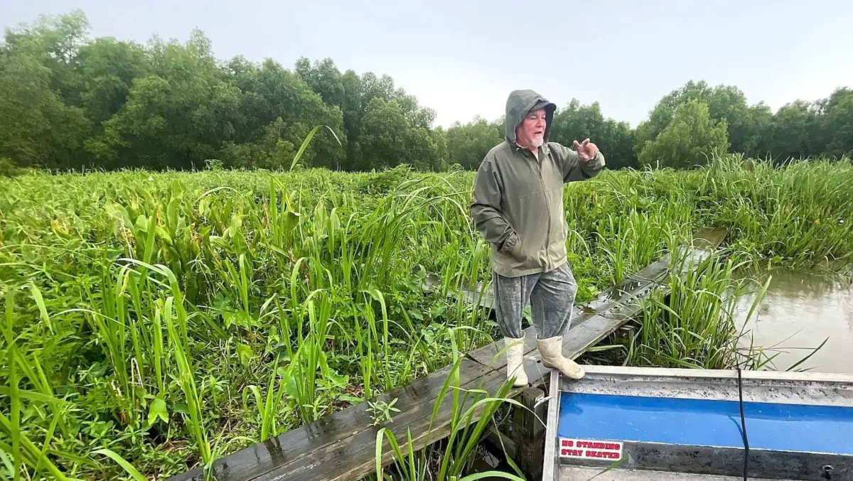
Arthur Matherne is accustomed to racing his airboat across a southeastern stretch of the Louisiana coastline where the landscape has changed drastically over the decades. In this region, lakes and bayous have steadily widened as salty water from the Gulf of Mexico has advanced inward, dissolving fragile marshes and vital swamp ecosystems.
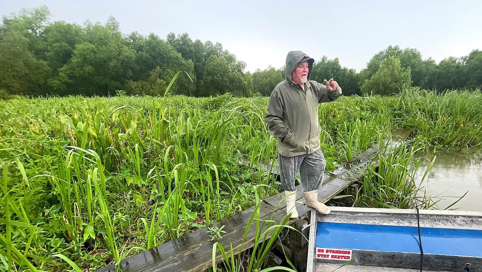
Yet, in one tucked-away patch of the vast 1.6-million-acre Barataria Basin, the semi-retired tour guide eases off the throttle. He struggles to navigate waterways that have grown noticeably narrower by the year. Vibrant grasses are aggressively overtaking the shallows, while sprawling oak branches stretch overhead, dangling heavy curtains of Spanish moss directly above navigation channels he once barreled through at high speeds.
"All this, it’s filling in," Matherne said after shutting off his airboat’s roaring propeller, gesturing to the transformed landscape around him. "Right here, it used to be three feet of water. Now it’s three inches."
What Matherne is witnessing represents a striking reversal of a destructive environmental pattern that has defined southern Louisiana for the past century. While the vast majority of the state’s coastal zone has continued to recede at an alarming rate of roughly 11 square miles per year due to severe erosion, subsidence, and other forces compounded by climate change, the wetlands in this specific corner are actively gaining ground.
The primary driver behind this localized recovery lies just a few miles away. Near Luling in St. Charles Parish, the Davis Pond Freshwater Diversion has funneled nutrient-rich Mississippi River water into the basin since it was constructed by the U.S. Army Corps of Engineers in 2002. The project was originally conceived to combat encroaching saltwater intrusion, but it triggered an unexpected and encouraging side effect. The diversion also carried massive quantities of the muddy river’s sediment deep into the interior wetlands, elevating the underwater floor and helping to construct brand-new land.
"It’s had this unintended consequence of building land," said Jacob Berkowitz, a wetland scientist with the Army Corps of Engineers. "This became one of the strategies that’s considered a key to addressing coastal land loss in Louisiana."
The Rise, Fall, and Reimagining of Coastal Restoration
Even as Davis Pond clearly demonstrates the immense land-building potential of river diversions, Louisiana has abruptly abandoned its most ambitious, multi-billion-dollar attempt to scale up that exact approach. Last year, the state officially canceled the massive Mid-Barataria Sediment Diversion. Inspired by the successes seen at Davis Pond, the $3 billion endeavor was once heralded by state officials as the largest and boldest environmental restoration project in U.S. history.
Although the massive project broke ground in 2023, construction ground to a halt shortly after Governor Jeff Landry took office in 2024. A Republican and one of the diversion’s most prominent political critics, Landry followed through on his skepticism by officially terminating the project—which would have been located roughly 20 miles south of New Orleans—in July 2025.
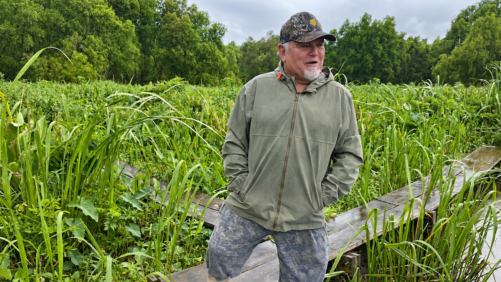
Landry repeatedly criticized the diversion as a costly, ineffective, and hazardous experiment. He argued that flooding parts of Barataria Bay with immense volumes of fresh water and heavy sediment would devastate the state’s commercial fishing industry by pushing out commercially vital shrimp and permanently burying productive oyster beds.
"This project is going to break our culture," Landry told state lawmakers during a legislative hearing. "It will destroy the shrimping industry—which is already struggling—and destroy the oyster beds."
Following through on these concerns, the Landry administration also moved to cancel a major companion initiative: the $1.8 billion Mid-Breton Sediment Diversion, which had been designed to revive dying, vulnerable wetlands southeast of New Orleans.
Despite the high-profile rejection of these massive megaprojects, the state administration is quietly continuing to plan and fund other river diversions along the Mississippi, albeit on a notably smaller, more targeted scale.
Officials with the Louisiana Coastal Protection and Restoration Authority, or CPRA, declined to discuss the agency’s overarching diversion strategies directly. However, a detailed review of the authority’s recent budget documents reveals that the state plans to allocate at least $340 million across five distinct projects over the next several years to divert Mississippi River water for coastal wetland restoration. This financial commitment represents a substantial increase over historical spending levels for diversions. Since 2007, the CPRA has completed just three diversion projects totaling a modest $47 million, according to the agency’s annual planning documents.
Harnessing the Ancient Delta Cycle
While certain political leaders have publicly disparaged major diversions, CPRA scientists maintain that utilizing river water to rebuild land and restore degraded wetlands remains a scientifically sound and necessary approach. At its foundational level, a diversion simply mimics the natural mechanics of the Mississippi River as it functioned before humans walled off its massive floodplain with towering levees. Those artificial banks ultimately prevented the river from naturally overflowing its edges or carving new pathways through natural breaks known as crevasses, explained Brian Gossman, a CPRA coastal scientist, during a public lecture.
"The natural process that we’re attempting to harness is the Delta cycle," Gossman said. "It’s the same process that built all of coastal Louisiana over millennia. We’re just using it in a targeted way."
Nearly all of the CPRA’s newly prioritized diversion spending is slated to fund a single major undertaking: the comprehensive restoration of the Maurepas Swamp. Spanning an area roughly the size of Chicago along the western edge of Lake Pontchartrain, about 25 miles from New Orleans, the $334 million project broke ground in 2024.
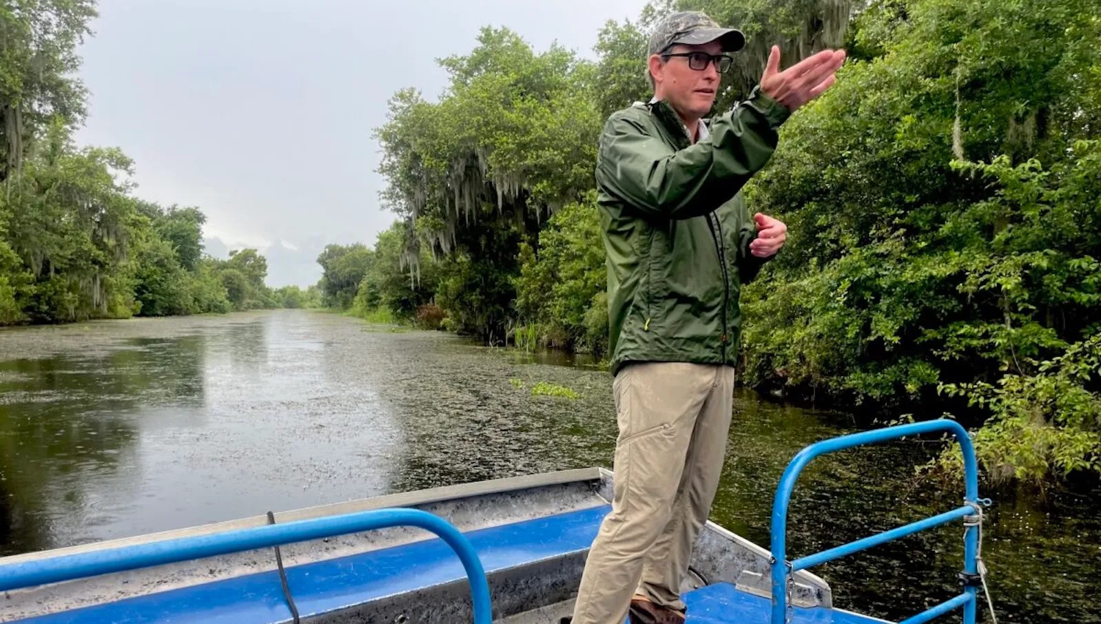
The initiative involves installing large, controllable gates into the Mississippi River levee near Garyville in St. John the Baptist Parish. These gates will channel up to 2,000 cubic feet per second of river water directly into the Maurepas ecosystem. Despite still standing as one of the nation’s largest remaining swamps, the region has lost thousands of acres of ancient cypress and tupelo forests. Early 20th-century levee construction systematically cut the swamp off from its natural sources of fresh water and sediment, leaving its remaining trees highly vulnerable to saltwater intrusion.
According to CPRA projections, the diversion will rebuild lost landmass and effectively flush out stagnant, highly saline water, thereby rejuvenating approximately 45,000 acres of swamp. Construction on the project is currently scheduled for completion late next year.
At the same time, the state has not completely closed the door on introducing sediment into the Barataria Basin. Following the cancellation of the massive Mid-Barataria project, the agency dusted off plans for an earlier, significantly smaller version: the Medium Diversion at Myrtle Grove. Originally proposed more than 25 years ago, this alternative project would divert up to 15,000 cubic feet of river water per second into the basin—operating at roughly one-third of the capacity originally planned for Mid-Barataria. To accelerate the formation of new marshland, the authority also intends to dredge sediment directly from the Mississippi River bed and pump it into the basin.
The comprehensive timeline and final budget for the Myrtle Grove project remain somewhat uncertain. CPRA budget documents indicate that approximately $1.7 million could be dedicated to the initiative between 2027 and 2029, though the ultimate price tag will undoubtedly run much higher. Back in 2012, the project was broadly estimated to cost $278 million, a figure that translates to roughly $480 million in today’s dollars.
The CPRA’s updated spending allocations are also slated to bolster the existing Davis Pond operation. The agency has proposed dedicating $3 million, shared in partnership with the Army Corps of Engineers, to study how the facility can be operated more effectively to maximize land-building capabilities.
Landmark research led by Tulane University in 2019 suggested that boosting the diversion’s average operating flow from its current 1,000 cubic feet per second up to a range between 4,000 and 7,000 cubic feet per second could deliver significantly more sediment to starved nearby wetlands. However, researchers cautioned that if water flows are raised too high without careful management, the valuable sediment could simply be washed away by currents.
In St. Charles Parish, where Davis Pond is located, exploring ways to safely increase diversion flows enjoys robust local support. In its official 2025 habitat restoration plan, the parish explicitly endorsed the proposed CPRA study, pointing to widespread criticism that historical diversion operations had not been aggressive enough to fully realize their environmental benefits.
Debating the Long-Term Ecological Impact
Standing on a scientific monitoring platform and watching Davis Pond’s silty flows drift past his boat, Matherne expressed strong agreement that the infrastructure should release greater volumes of water and sediment.
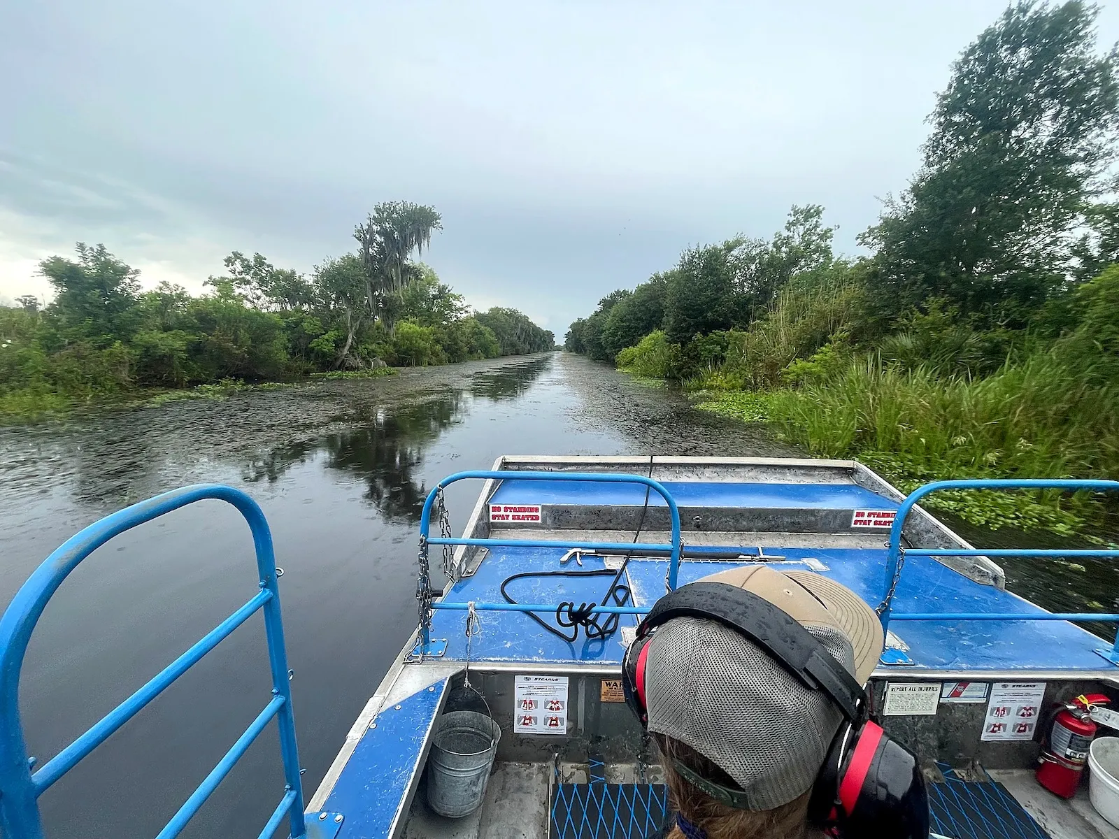
"Right now, it’s like pissing in an Olympic-size swimming pool," Matherne said. "We need more flow."
The Army Corps originally constructed the diversion to improve public oyster grounds that had grown overly salty as surrounding coastal marshes retreated. While regional oyster populations have experienced fluctuations since the project’s inception, recent monitoring data indicated that populations on public beds successfully rebounded above their 10-year averages in 2024, according to Danielle Richardi, a CPRA coastal scientist. Furthermore, commercial shrimp catches recorded south of the diversion hit a nearly four-decade high that same year.
Matherne noted that he has personally observed a marked, encouraging increase in local wildlife. Alligators have become far more plentiful, he said, pointing out more than a dozen of the large reptiles navigating the intricate maze of waterways near the diversion site.
"All the alligators you see—that’s a fraction of what’s out there," he said. "Come back at night, and you’ll see their eyes shining all over."
Despite visible local improvements, academic researchers have reached sharply conflicting conclusions regarding the broader, long-term impact of diversions on total wetland acreage.
In 2019, Eugene Turner, a coastal sciences professor at Louisiana State University, challenged conventional restoration dogma by publishing a study linking the operation of Davis Pond to accelerated wetland loss. Turner discovered that the annual rate of land loss in the immediate vicinity of Davis Pond nearly tripled after the diversion went online, climbing from 0.36 percent to over 1 percent annually. This acceleration outpaced losses observed in comparable nearby wetlands untouched by diversion waters.
Turner attributes this phenomenon to the chemical composition of the modern river. While diversions are intended to restore the Mississippi’s historical connectivity, the river itself has changed drastically over the past century, now carrying elevated concentrations of nitrogen and phosphorus derived primarily from upstream agricultural fertilizer runoff and urban wastewater. Turner argues that these excess nutrients stimulate rapid, unsustainable plant growth that leaves marsh vegetation structurally weak.
"If your garden is fertilized too much, it puts all its growth aboveground," Turner explained. "It falls over because its roots never had to work hard."
In Turner’s view, lower nutrient levels encourage plants to develop deeper, more robust root systems, rendering marshes far more resilient against powerful storm surges and constant wave erosion. He has likened some of the apparent land gains generated by diversions to a "green toupee"—surface vegetation that may create the visual illusion of a healing landscape, but remains vulnerable to being easily stripped away by severe weather or strong currents.
Conversely, two of Turner’s academic colleagues strongly disputed those findings in a subsequent 2023 study published in a scientific journal. John White and John Day, both fellow LSU coastal sciences professors, concluded that the first two decades of Davis Pond’s operations had actually produced a net gain of 1.3 square miles of sustainable land. Their research argued that Turner had reached an erroneous conclusion by relying on satellite data that had been explicitly labeled as inappropriate for fine-scale coastal monitoring.
The researchers asserted that the satellite imagery utilized by Turner lacked the precision required to reliably distinguish tiny patches of emergent wetland from open water, which frequently created the false impression that land had vanished when it remained intact.
While Turner staunchly stands by his research, arguing that it offers an honest appraisal of the risks associated with poor project management, his warnings heavily fueled the opposition that ultimately brought down the Mid-Barataria megaproject. Critics repeatedly invoked his findings alongside economic projections warning of buried oyster beds and displaced shrimp populations.
CPRA Chairman Gordon Dove addressed the collapse of the multi-billion-dollar initiative in a guest column published in The Times-Picayune. "Considering the uncertainties and questionable environmental outcomes recognized by various agencies … it was necessary to abandon the current project," Dove wrote.
Although the state has yet to issue a comprehensive blueprint for its future coastal strategy, a clear preference for smaller, less contentious, and more financially manageable projects has emerged. Turner welcomes this strategic shift, though he continues to advocate for operating diversions at carefully controlled flow rates to prevent the loss of vegetation weakened by excess agricultural nutrients. He also suggests prioritizing future diversion sites in geographic areas possessing naturally sandy soils rather than the notoriously soft, unstable muck found throughout much of coastal Louisiana.
"It’s not that they won’t work," Turner said. "These diversions give you lessons. We should learn from them."