

Off the Pacific coast of South America, a vast expanse of warm water is mutating into a meteorological freak of nature. Hovering at more than 3 degrees Celsius above normal, this brewing El Niño is the warmest ever recorded since satellites began measuring sea surface temperatures half a century ago. And because it will not peak for several more months, scientists project it could climb to roughly 4 degrees above normal by November or December.
"This event is already in record territory," said Zeke Hausfather, a climate scientist at the research group Berkeley Earth. "And every model expects it to keep growing."
Yet, in a striking geographical paradox, this year’s Atlantic hurricane season—which officially began in June—is shattering records in the exact opposite direction. On average, by this point in the year, the Atlantic basin should have already spawned four named hurricanes, including two major systems. Instead, the Atlantic has yet to produce even a single hurricane. The previous historical record for the latest first hurricane in a calendar year was September 11, a threshold that has now long since passed.
These two extreme weather phenomena unfolding on opposite sides of the Americas may appear bizarre in their isolation, but they are far from unexplained. In fact, they are fundamentally intertwined, serving as a masterclass in how ocean-atmosphere dynamics ripple across the globe.
To understand the connection, meteorologists look to the basic thermodynamic ingredients that fuel a hurricane, a system best understood as an atmospheric engine. The primary fuel for these tropical cyclones is warm ocean water, which pumps immense quantities of heat and moisture skyward. This fundamental mechanism explains why hurricanes have grown increasingly powerful and destructive in recent decades: as the planet warms due to human-induced climate change, more high-octane thermal energy becomes available to feed these intense storms.
Beyond warm water, hurricanes require specific atmospheric conditions to thrive. They prefer high relative humidity, as dry air masses tend to erode and choke off developing storm systems. They also require a stable wind profile, meaning winds must move in a consistent direction and speed across different altitudes.
While the tropical Atlantic is currently filled with plenty of warm water to feed tropical storms, it is the wind profile that is severely disrupting the process. A strong El Niño alters global circulation patterns, significantly increasing wind shear over the Atlantic basin. Wind shear creates a turbulent environment characterized by winds moving at varying speeds and directions at different altitudes.
"Hurricanes do not like that," said Brian McNoldy, a senior research associate who studies tropical storms at the University of Miami. "So if any manage to form, it can limit how strong they get or how long they live. But so far, it’s managed to suppress anything even being able to form in the deep tropics."
At the same time, the atmospheric dynamics driven by El Niño generate dry, sinking air over portions of the Atlantic, creating an environment deeply hostile to the humidity-loving nature of tropical cyclones.
"So it’s really, really a suppressed Atlantic hurricane season," McNoldy added, "basically due to that very strong El Niño that’s taking shape."
Populations living on the Pacific side of the Americas, however, are experiencing a sharply contrasting reality. Earlier in the week, Hurricane Polo rapidly transformed from an ordinary tropical storm into a ferocious Category 5 monster in less than twenty-four hours. This dramatic escalation is an extreme manifestation of rapid intensification—defined as an increase in a storm’s sustained wind speeds by at least 35 miles per hour within a 24-hour window.
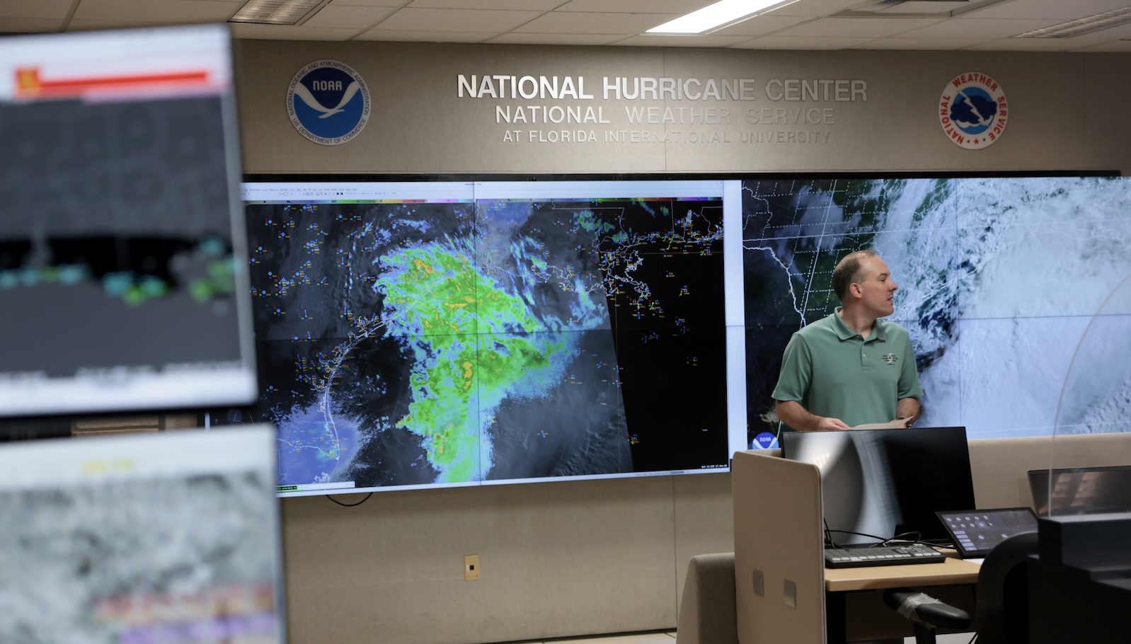
Much like other recent hurricanes that have exploded in strength due to marine heatwaves supercharged by climate change, Polo found an abundance of thermal fuel in Pacific waters further amplified by the unfolding El Niño. Meteorological models indicate that the storm is on a trajectory to make landfall in Baja California, Mexico. Simultaneously, another tropical system, Nolo, rapidly strengthened into a hurricane, threatening to dump several feet of torrential rain on the Hawaiian islands.
Beyond the immediate threat of landfalling Pacific storms, the broader El Niño event is already injecting massive amounts of excess warmth into the global atmosphere. Public health researchers and climate scientists project that over the first nine months of this ongoing weather event, extreme heat could contribute to roughly 451,000 deaths worldwide.
El Niño is also profoundly disrupting regional precipitation patterns. It typically increases rainfall across regions such as California and the American Southwest, while simultaneously inducing severe precipitation deficits in Southeast Asia, the Amazon rainforest, and parts of Africa. Historically, these shifts have triggered devastating agricultural droughts.
"It’s crop failures in those regions that, at least historically, have driven the biggest economic and human impacts of these events," Hausfather noted.
The sheer scale of this Pacific warming event highlights the immense thermal inertia of the world’s oceans. Art Miller, a climate scientist at the Scripps Institution of Oceanography, points out that these surface temperature anomalies represent massive shifts in total heat content. Because the ocean has approximately one thousand times more capacity to store heat than the atmosphere, even slight deviations in sea surface temperatures can profoundly alter global atmospheric behavior.
While Earth’s average temperatures are expected to eventually decline once this specific El Niño cycle wanes, scientists view the current crisis as a stark preview of standard planetary conditions just two decades from now. As greenhouse gas emissions continue to warm the planet, future El Niño events will layer on top of drastically higher baseline temperatures.
The immediate challenge facing governments and international organizations is how to prepare for the cascading crises ahead. As severe droughts take hold in vulnerable agricultural zones, nations will need to marshal every available water resource, prioritizing the stability of food supply chains. Subsistence farmers are at particularly high risk; if prolonged dry spells prevent them from growing crops, they lose both their primary food source and their economic livelihood.
"One of the big things is getting ready for crop failures," Hausfather said. "Stockpiling food supplies, making sure there’s financial transfer systems to give money to farmers whose harvest fails, so they can buy food."
Simultaneously, as parched landscapes transform into tinderboxes, governments face the urgent task of reducing combustible fuel loads and preventing catastrophic wildfires. Controlled burns are frequently deployed to clear accumulated dead brush, ensuring that accidental blazes do not explode into uncontrollable infernos capable of obliterating entire ecosystems and threatening human settlements. Agricultural authorities will also need to crack down on the burning of waste biomass, a common human-induced trigger for wildfires. Regardless of preventative measures, however, experts warn that new fires will inevitably break out, driving an acute global demand for expanded firefighting equipment and trained personnel.
These mounting dangers are arriving against a backdrop of ongoing climate change, amplifying hazards that are already well above historical norms. Landscapes are drier, temperatures are higher, and agricultural systems are already deeply strained.
"Everything’s happening on a baseline that’s much hotter than it was a century ago, which makes these impacts correspondingly more severe," Hausfather said. "It’s a little glimpse of what the planetary climate will look like."