
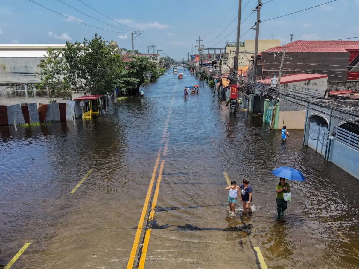
By now, the headlines have become impossible to ignore, flashing across news feeds with alarming frequency. Described by meteorologists and researchers as "jaw-dropping," this year’s climate anomalies are poised to accelerate global warming to unprecedented levels. In response to the escalating threat, California has formally declared a statewide state of emergency to bolster preparedness and safeguard communities. At the center of this turbulence is a powerful El Niño—a recurring climatic shift in Pacific Ocean trade winds that scrambles global weather patterns—which is rapidly emerging as one of the strongest events on record. With scientists warning of potentially disastrous consequences, recent projections paint a sobering picture, suggesting that the compounding effects of extreme heat could lead to hundreds of thousands of heat-related fatalities worldwide in the coming months.
The current El Niño has also inspired an array of eye-catching descriptors in public discourse. When Jeffrey Shaman, a climatologist at the Columbia Climate School, encountered the phrase "super El Niño" earlier this year, his initial reaction was one of professional curiosity. "I literally googled it," he recalled. While the term is not formally utilized in the operational lexicon of the National Oceanic and Atmospheric Administration (NOAA) or the World Meteorological Organization (WMO), Shaman recognizes its practical utility. He argues that colloquial labels play a vital role in cutting through technical jargon to communicate the sheer gravity of an unfolding climate crisis to the general public. "It’s colloquial, and there’s nothing wrong with that at all," Shaman noted.
By all accounts, this meteorological event is much more than a regional disruption. It serves as an unsettling preview of a future defined by unabated warming driven by fossil fuel consumption, while simultaneously offering a narrow window of opportunity for society to alter its course before the most catastrophic impacts materialize.
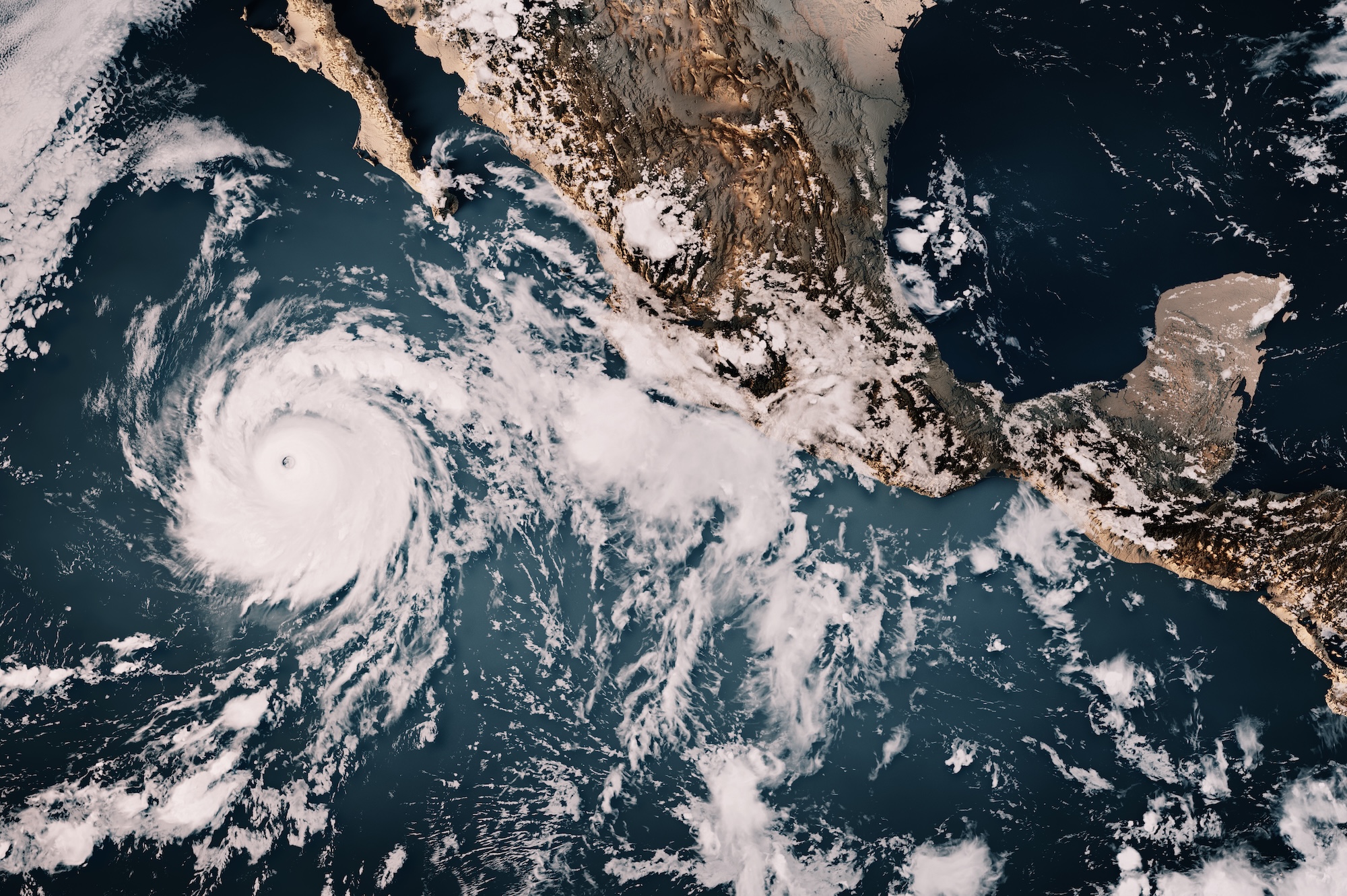
Back up — what is El Niño?
To understand the scale of the current disruption, it helps to examine the mechanics of the phenomenon itself. El Niño is a naturally occurring climate pattern that originates when sea surface temperatures in the equatorial Pacific Ocean rise significantly above average. Although it does not adhere to a rigid schedule, it typically recurs every two to seven years. Under normal conditions, trade winds blow steadily from east to west across the Pacific, pushing warm surface water toward East Asia and Oceania. However, during an El Niño phase, these trade winds weaken considerably and can occasionally reverse direction. As a result, the vast pool of warm water that usually accumulates in the western Pacific sloshes back toward the western coast of the Americas.
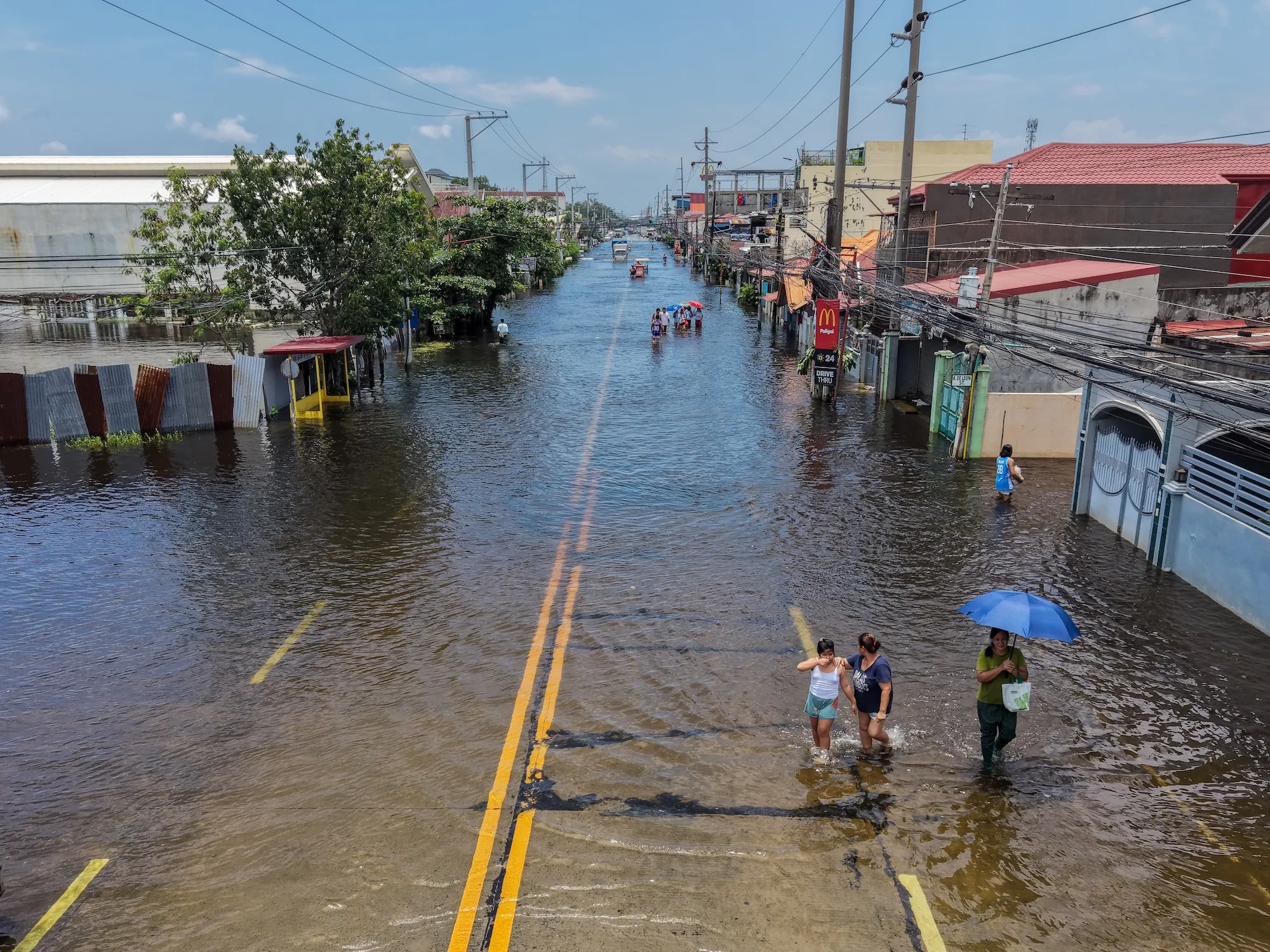
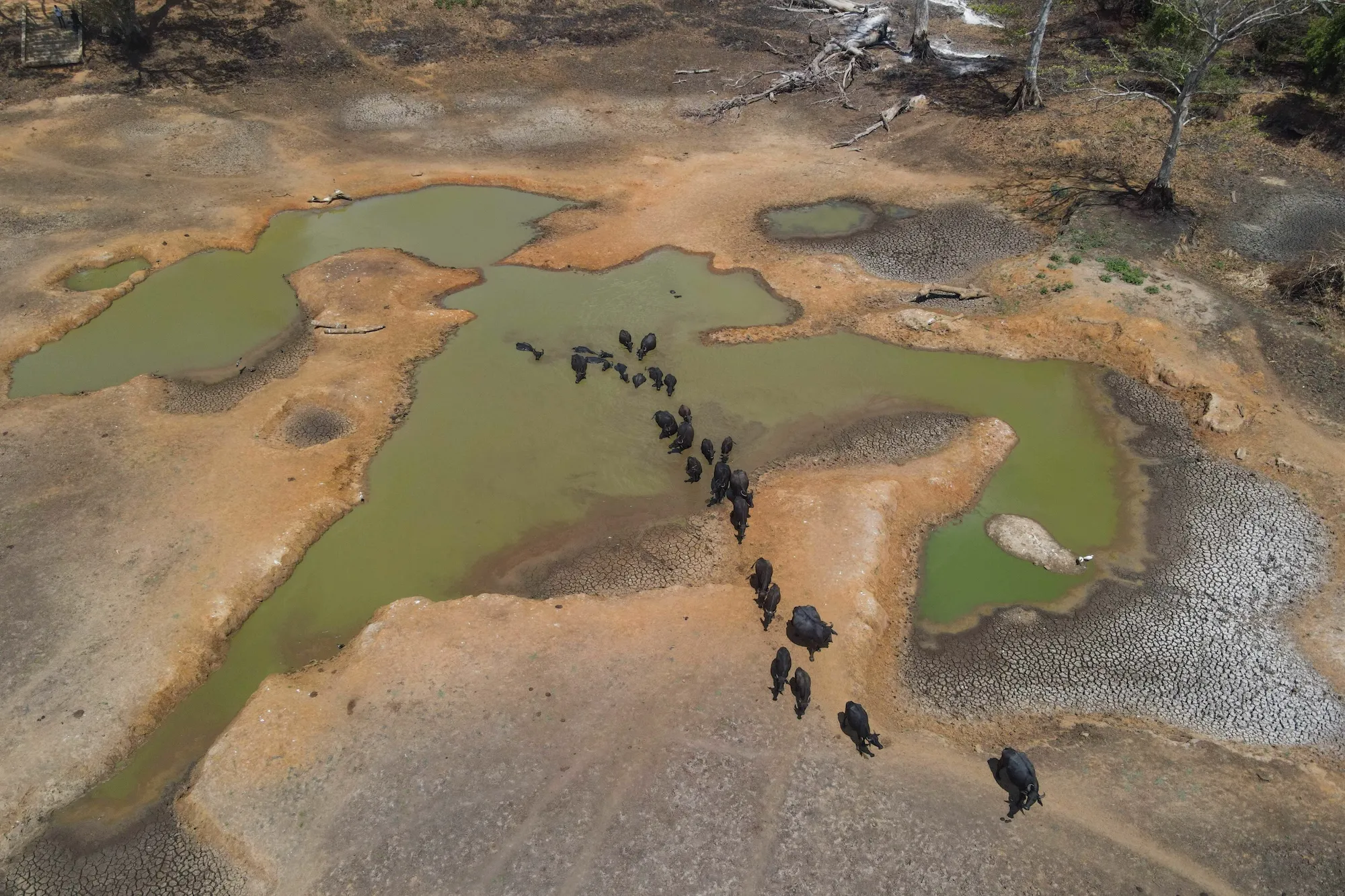
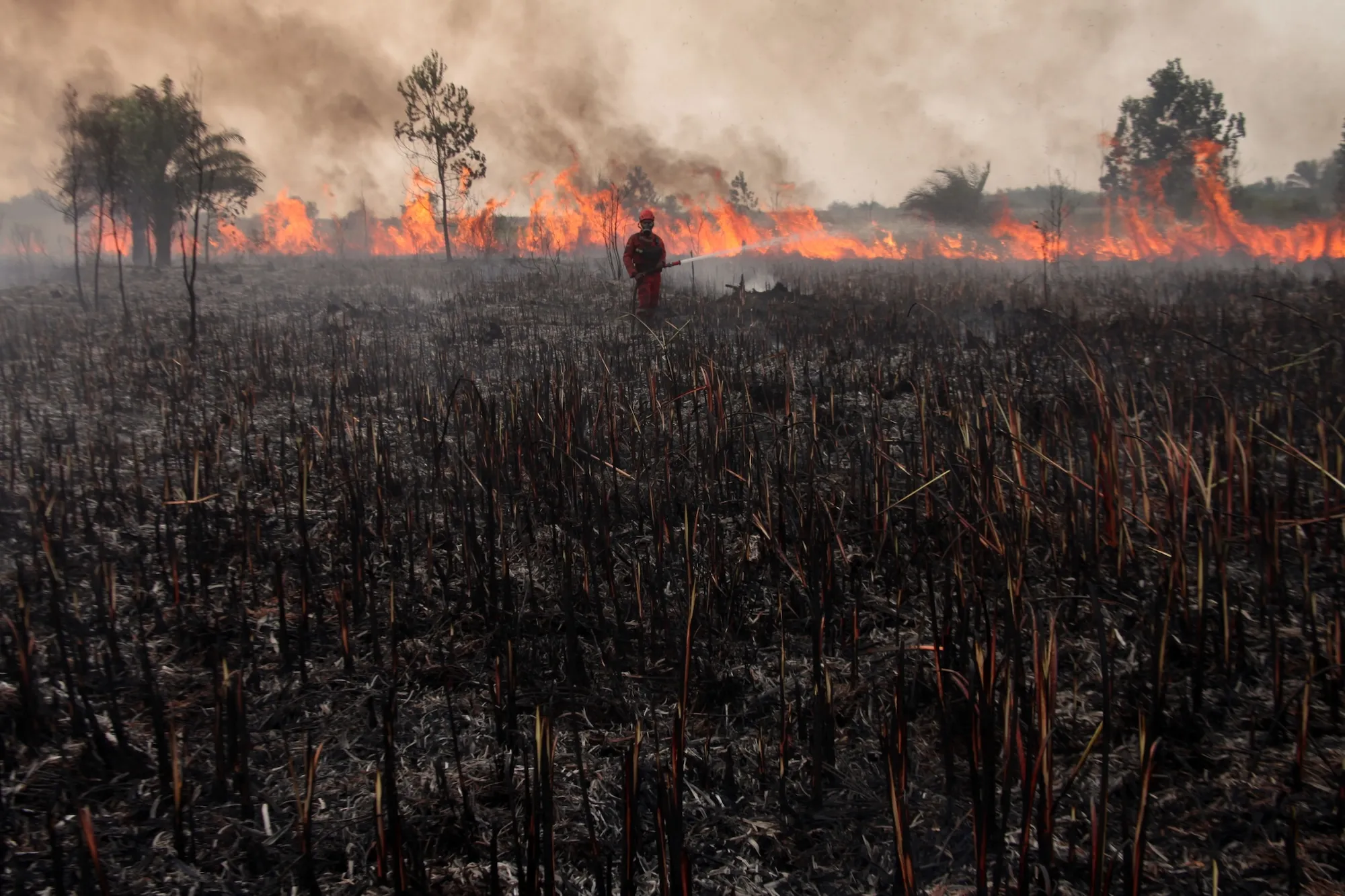
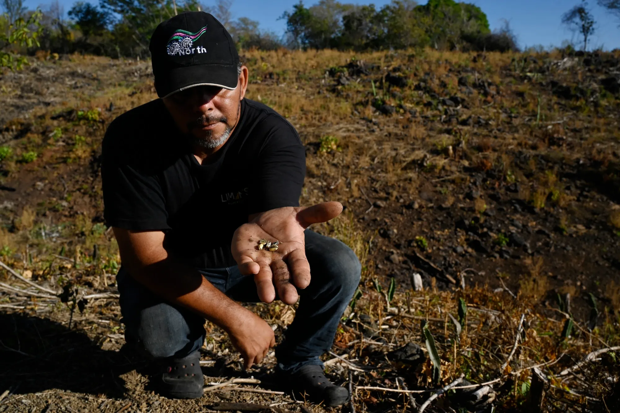
This massive redistribution of thermal energy triggers far-reaching ecological and atmospheric ramifications across the globe. It alters jet streams, suppresses monsoons in some regions, triggers severe droughts in others, and threatens agricultural harvests in several key breadbasket regions.
The intersection between El Niño and long-term climate change is complex and deeply intertwined. Decades of research demonstrate that global warming has increased the frequency and intensity of El Niño events. Conversely, these massive natural oscillations are known to cause sharp spikes in global mean surface temperatures—the average temperature of the Earth, which scientists frequently use as a proxy for tracking climate change. Teasing apart how much temporary warming is attributable to El Niño versus long-term anthropogenic warming is a formidable scientific challenge. Yet, the overarching reality remains clear: the convergence of a hyper-charged natural cycle with rapid background warming will produce devastating impacts. Scientists warn that the current year could shatter temperature records, with subsequent years potentially proving even hotter, serving as an accelerated preview of the baseline warmth expected by the middle of the century.
Researchers admit that charting uncharted territory is fraught with uncertainty. "It’s going to be a very, very strong event occurring against a backdrop of very rapid global warming," observed Christopher Callahan, a climate scientist at Indiana University. "I think we’re going to, unfortunately, learn a lot this year," he added.
What makes this El Niño ‘super’?
Measuring the strength of an El Niño is a nuanced process involving multiple indices maintained by agencies like NOAA. While some metrics evaluate sea surface temperatures across distinct oceanic sectors, others incorporate atmospheric pressure shifts. The standard metric utilized by modern climatologists is the "Niño 3.4 anomaly," which tracks sea surface temperature deviations in a specific central-eastern equatorial Pacific region.
For NOAA to formally declare an El Niño event, warming in the Niño 3.4 region must reach at least 0.5 degrees Celsius above normal. A departure of 1 degree Celsius is classified as "moderate," 1.5 degrees constitutes a "strong" event, and 2 degrees or more is categorized as "very strong."
While "super" is widely understood by the public to mean "very strong," recent data underscores just how far past the threshold this event has pushed. An analysis released by Carbon Brief revealed that warming in the Niño 3.4 region surpassed 3.11 degrees Celsius, comfortably eclipsing the previous all-time record set during the historic El Niño peak of November 2015.
Typically, El Niño events reach their maximum intensity around December or January—a timing that inspired South American fishermen centuries ago to name the phenomenon after the Christ child due to its arrival around the holiday season. While sea surface temperatures occasionally dip after peaking, current forecasting models indicate a 90 percent probability that this event will maintain its "very strong" status through the end of the year, defying expectations of a rapid decline. Summer sea surface temperatures across the globe were already the warmest on record, solidifying the trajectory.
"I was a little bit skeptical earlier this year of some of the more dire predictions," Callahan noted. However, as successive waves of empirical data flowed in, it became undeniable "that we’re going to see a generationally strong event this year."
Where did the phrase ‘super El Niño’ come from?
To many outside the scientific community, the term "super El Niño" sounds like an invention of sensationalist journalism. However, its origins lie deep within academic literature, a revelation that surprised scholars such as Jovana Vurdelja, an ecolinguistics researcher based in Serbia. "I really thought it was just media sensationalism," she admitted. Historical tracking shows the phrase first emerged in a 2003 meteorological paper examining the transition dynamics between intense El Niño phases and their cooler counterparts, La Niña.
In the decades since, the term has crossed linguistic and geographic boundaries, being adopted widely across Europe in Serbian, Norwegian, Italian, German, French, and Croatian media.
When extraordinary environmental hazards loom, societies naturally reach for intensified language to convey scale. Yet, finding descriptive terminology that accurately matches the magnitude of a climate hazard remains a persistent challenge for communicators. Vurdelja explains that language can easily fall short—either by minimizing a threat through clinical understatement or by exaggerating it to a degree that induces public desensitization and nihilism. "It’s extremely important that the word communicates the seriousness, the magnitude, the severity of the event itself," Vurdelja emphasized. In her view, "super El Niño" strikes the right balance because it has been embraced by both researchers and journalists alike.
What comes after ‘super El Niño’?
If extreme Pacific warming events exceeding 3 degrees above normal become a frequent occurrence in a warming world, the vocabulary used to describe them will inevitably need to evolve. Some experts argue that current terminology is already inadequate. "This is going to be so far beyond a super El Niño, if the models are right, that we sort of need a new term for it," climate scientist Zeke Hausfather noted during a recent podcast appearance.
As physical extremes intensify, researchers find themselves reaching for increasingly colloquial and visceral descriptors to capture unprecedented anomalies, ranging from "mind-bogglingly crazy" to "gobsmackingly bananas"—a phrase coined by Hausfather to describe historic global temperature spikes. Meanwhile, the term "Godzilla El Niño," popularized by NASA climatologist Bill Patzert during the 2015 event, continues to circulate in newsrooms.
Historical classification systems were built for a different climate reality. As Jeffrey Shaman pointed out, institutional definitions were established during an era when global anomalies rarely breached the 2-degree Celsius threshold outside of exceptional circumstances, making the original terminology seem appropriate for the time.
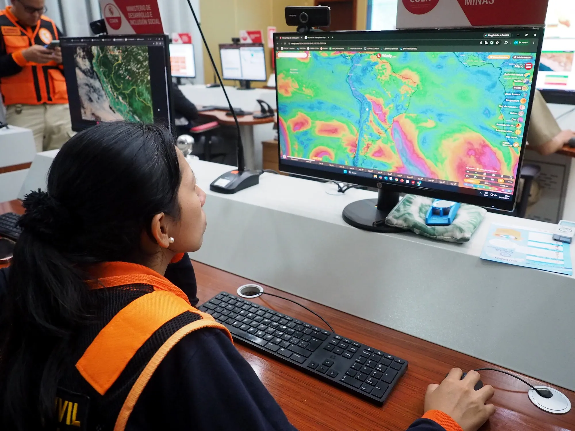
Regardless of the nomenclature applied, the paramount challenge lies in proactive adaptation and resource planning. Societies must prepare for the profound cascading effects this hyper-charged climate pattern will exert on global food production, hydroelectric power generation, public health infrastructure, and severe weather management over the coming year. For now, with regional emergencies already declared and communities bracing for impact, the label "super" serves to remind the world of the immense disruptions ahead.