
By now, the headlines have become a daily fixture in the global news cycle, describing a weather phenomenon that climate scientists are calling jaw-dropping. Poised to exacerbate global warming to unprecedented levels, this year’s climate shift has already prompted drastic domestic actions, including a statewide state of emergency declared by California Governor Gavin Newsom to bolster regional preparedness and protect vulnerable communities.
At its core, the current El Niño—a naturally occurring disruption in Pacific Ocean trade winds that thoroughly scrambles global weather patterns—is being discussed by meteorologists and climatologists worldwide as one of the strongest events on record. The consequences of this extraordinary climatic shift are projected to be severe, with scientists and public health researchers warning of cascading environmental and humanitarian disasters. One recent study even projects that the confluence of extreme heat and disrupted weather could cause as many as 451,000 heat-related deaths around the globe by February.
As the phenomenon intensifies, the current El Niño has been branded with an array of eye-catching descriptors in both scientific journals and mainstream media. When Jeffrey Shaman, a climatologist at the Columbia Climate School, first encountered the phrase "super El Niño" earlier this year, his initial reaction was one of professional curiosity. "I literally googled it," he recalled. While the term is not formally utilized by institutional bodies such as the National Oceanic and Atmospheric Administration (NOAA) or the World Meteorological Organization (WMO), Shaman still recognizes its considerable communicative value. He notes that such colloquial labels are vital for conveying the profound significance of a potentially unprecedented event to the general public. "It’s colloquial, and there’s nothing wrong with that at all," Shaman said.
By all accounts, this year’s extreme El Niño will also grant the global community a stark, undeniable glimpse into a future of unabated warming driven by the continuous burning of fossil fuels. More importantly, it provides a critical, albeit narrow, window of opportunity to change course before the worst effects of global climate change become irreversible.
Back up — what is El Niño?
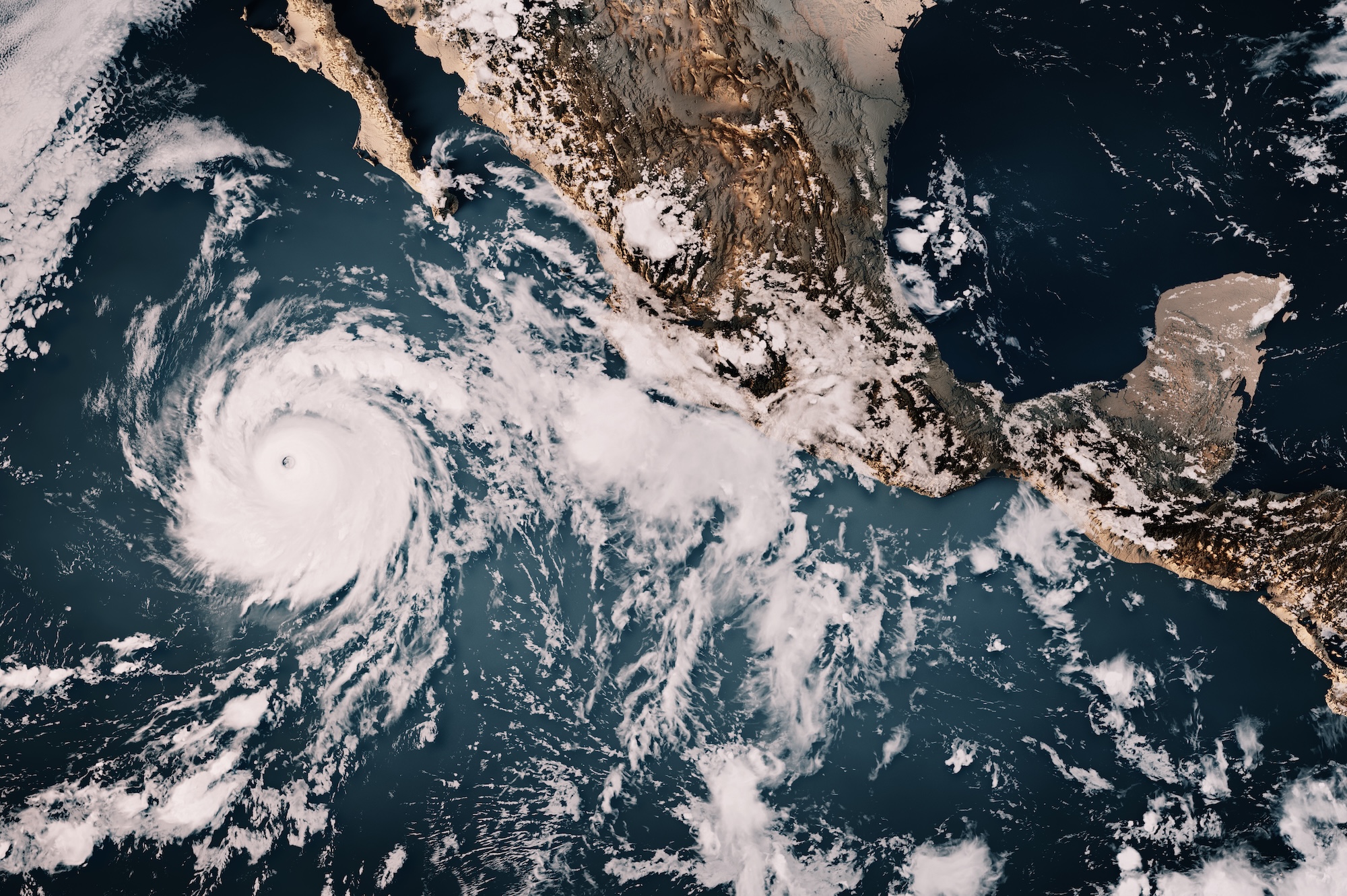
To understand the magnitude of the current crisis, it is necessary to examine the underlying mechanics of the phenomenon. El Niño is a naturally occurring climate pattern that initiates when sea surface temperatures in the equatorial Pacific Ocean rise significantly above average. Although it does not occur on a strictly predictable timeframe, it typically cycles every two to seven years.
Under normal climatic conditions, trade winds blow steadily from east to west across the Pacific Ocean, pushing warm surface water along the equator toward East Asia and Australia. However, during an El Niño year, these trade winds weaken considerably and can occasionally reverse direction. When this happens, the vast pool of warm water that usually accumulates in the western Pacific sloshes back eastward, migrating toward the western coast of the Americas.
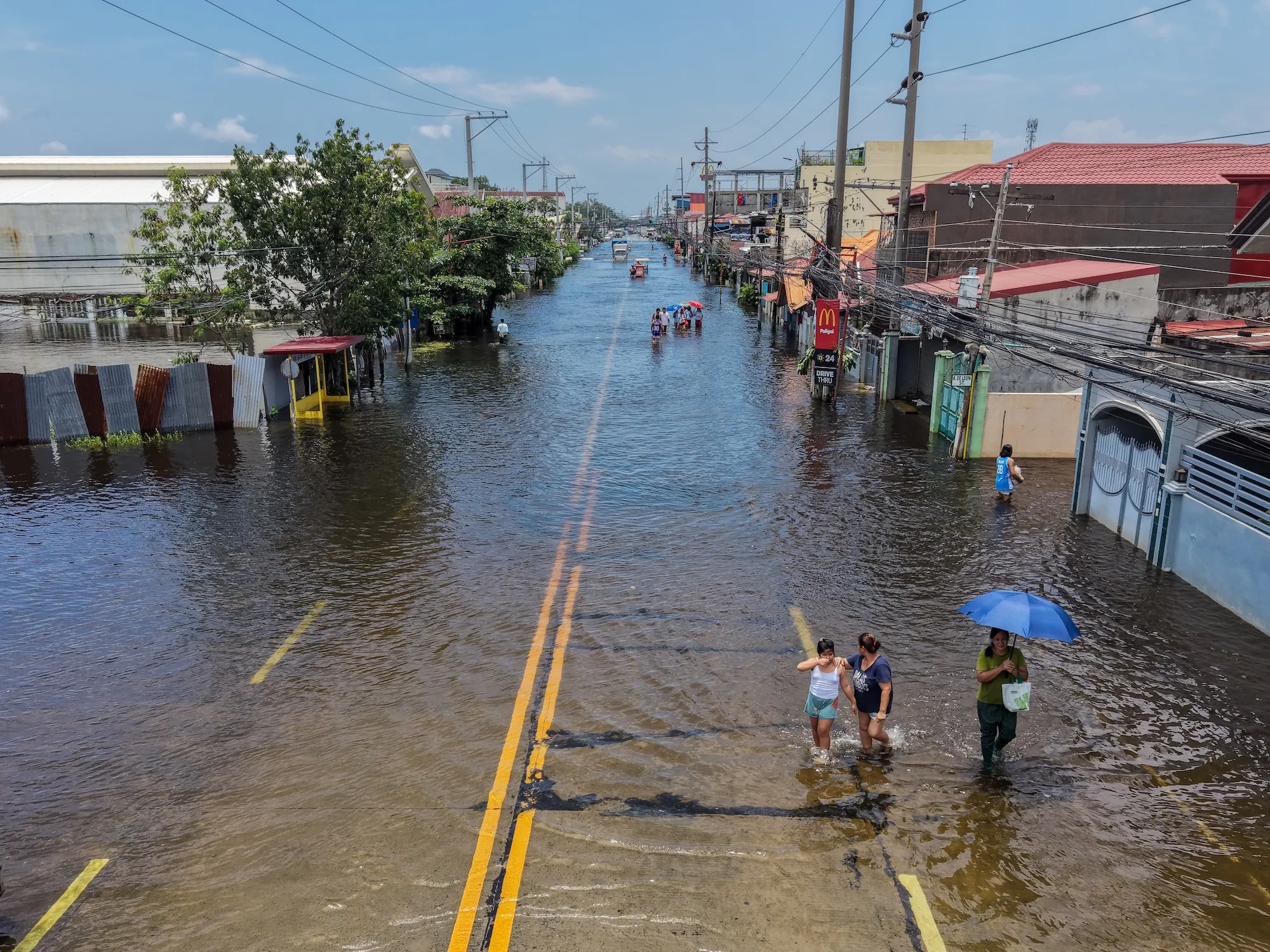
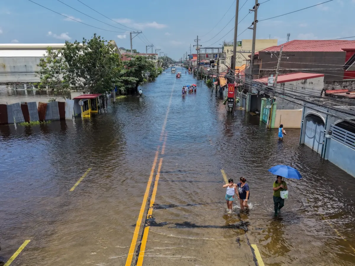
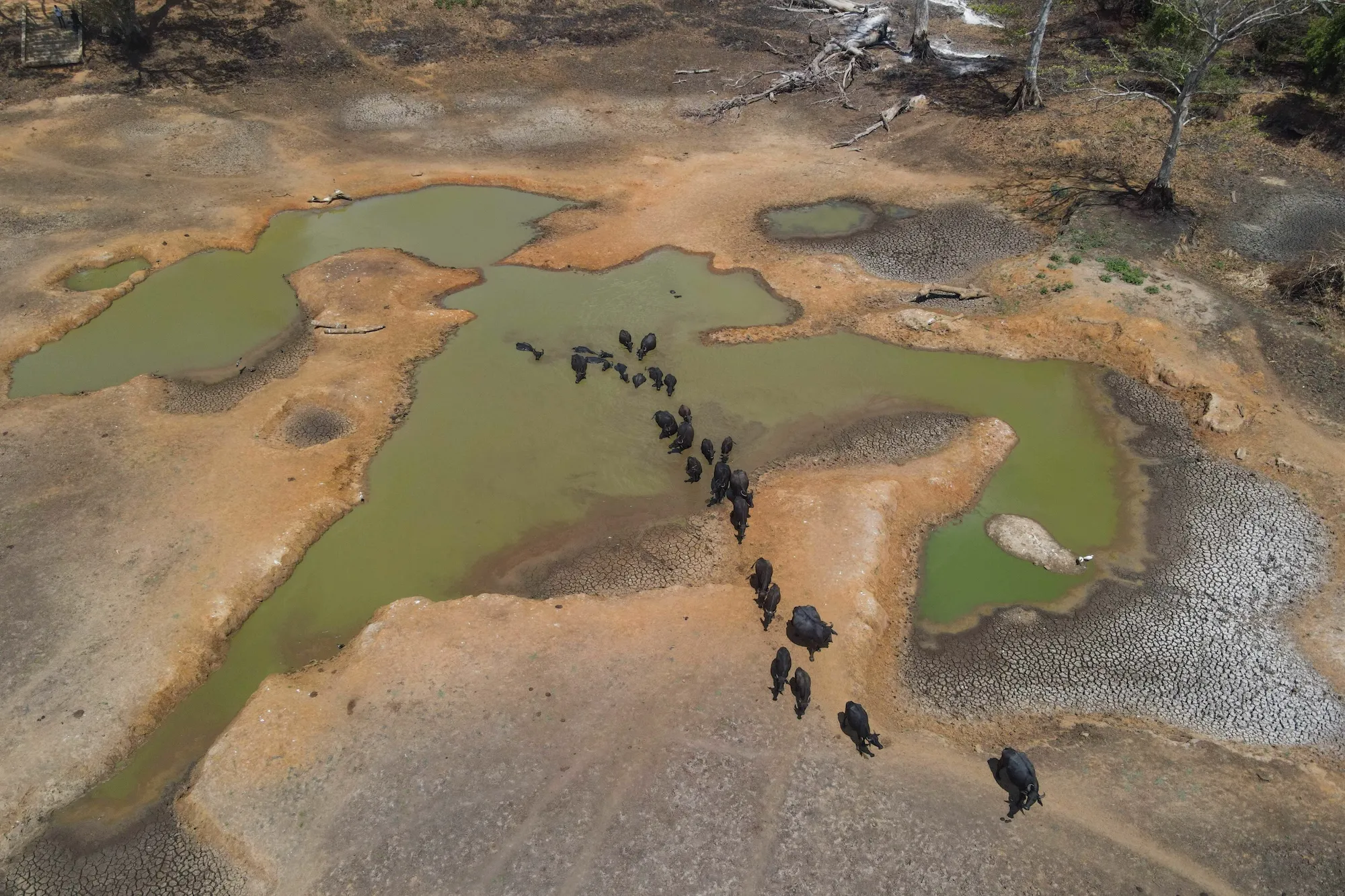
This massive redistribution of thermal energy has dramatic ramifications that extend far beyond the Pacific basin. It drives extreme weather anomalies across the entire globe, threatening critical crop harvests in several key agricultural breadbaskets, while simultaneously intensifying both prolonged droughts and catastrophic, severe rainfall events in different regions.
The intersection between human-driven climate change and natural El Niño cycles is complex and deeply concerning. Extensive scientific research has demonstrated that global warming has led to an increased frequency and intensity of El Niño events. Conversely, El Niño years are historically associated with sharp spikes in global mean surface temperatures—the average temperature of the entire planet, which serves as a primary metric for tracking climate change.
While it remains challenging for researchers to precisely delineate how much of a given year’s warming stems directly from an active El Niño versus long-term anthropogenic climate change, the combined outcome is anticipated to be devastating. Climatologists warn that the current year could shatter previous temperature records, and 2027 could prove even hotter. According to high-end climate estimates, the compounding effects of this event could act as a fast-forward button, providing a preview of the baseline temperatures the world might otherwise not expect to see until the year 2040.
Scientists readily admit that they are charting unknown territory regarding how this specific combination of rapid global heating and a hyper-charged natural cycle will play out in real-time. "It’s going to be a very, very strong event occurring against a backdrop of very rapid global warming," noted Christopher Callahan, a climate scientist at Indiana University. "I think we’re going to, unfortunately, learn a lot this year."
What makes this El Niño “super”?
Measuring the strength of an El Niño event is a multifaceted task, with agencies like NOAA tracking a variety of oceanic and atmospheric indices. Some metrics focus exclusively on sea surface temperatures across distinct sub-regions of the Pacific, while others incorporate atmospheric pressure shifts. Today, the most widely accepted standard among researchers is known as the Niño 3.4 anomaly.
In the United States, NOAA requires sea surface temperatures in this specific central-eastern equatorial Pacific region to rise at least 0.5 degrees Celsius above normal to formally declare an El Niño. If temperatures exceed the baseline by 1 degree, the event is categorized as "moderate." A departure of 1.5 degrees classifies the event as "strong," while a surge of 2 degrees or more places it in the "very strong" category.
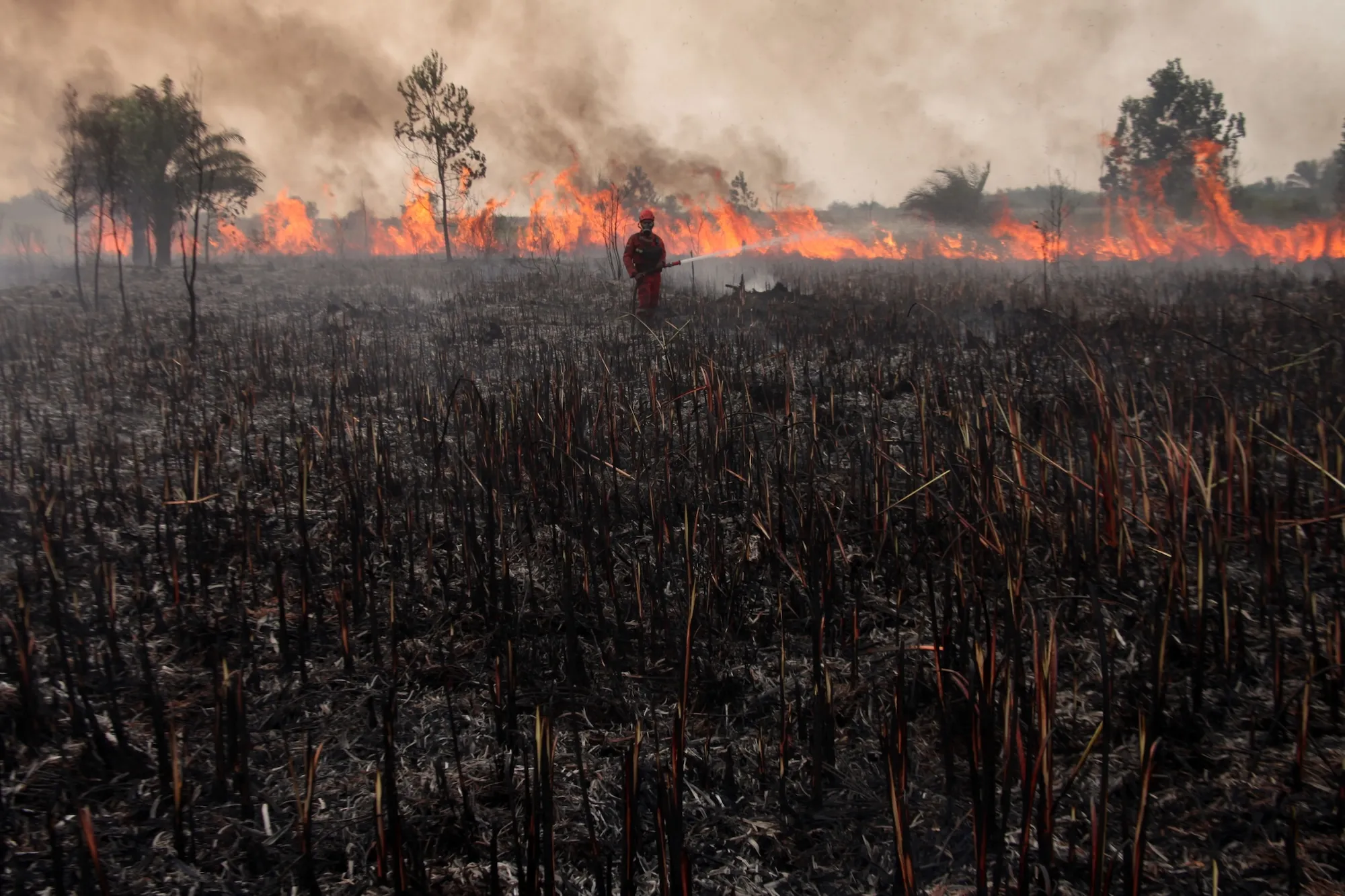
The colloquial term "super" is broadly considered by the scientific community to be synonymous with "very strong." However, a comprehensive analysis of sea surface temperatures published by Carbon Brief reveals that warming in the Niño 3.4 region has reached an astonishing 3.11 degrees Celsius.
This metric is profoundly significant because it confirms that the 2026 El Niño has already surpassed the previous all-time record, eclipsing the legendary event that peaked in November 2015.
Typically, El Niño events reach their maximum intensity around December or January. (The phenomenon itself was originally named El Niño by South American fishers centuries ago, who observed its arrival around the winter holidays and associated the warmer coastal waters with the biblical story of baby Jesus.) While it is historically possible for sea surface temperatures in the Pacific to cool during the final months of a cycle, current data makes that scenario increasingly unlikely. Record-shattering ocean temperatures recorded throughout June, July, and August have set a perilous baseline, and complex forecast models indicate a 90 percent probability that this El Niño will maintain its "very strong" status through the end of the calendar year.
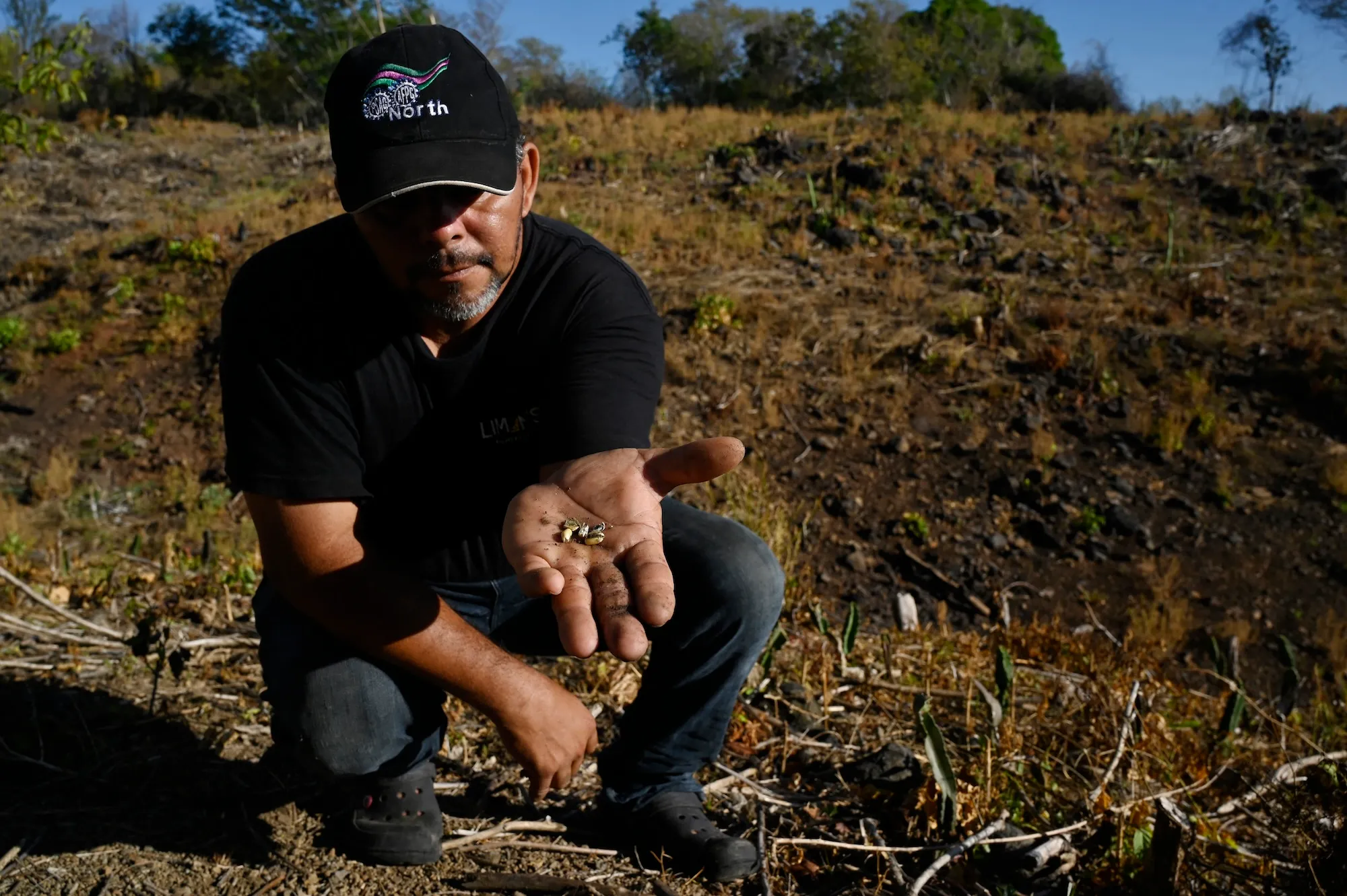
"I was a little bit skeptical earlier this year of some of the more dire predictions," Callahan admitted. However, as successive waves of empirical data flowed in from observation buoys and satellite networks, it became glaringly obvious "that we’re going to see a generationally strong event this year."
Where did the phrase “super El Niño” come from?
While the term might easily be mistaken for a sensationalized invention of modern media, "super El Niño" actually originated within the halls of academic research. This revelation came as a surprise to Jo Vurdelja, an ecolinguistics researcher based in Serbia. "I really thought it was just media sensationalism," she noted. Historical analysis shows that the phrase first appeared in a 2003 meteorological paper examining the theoretical transition from a strong El Niño phase to its cooler counterpart, La Niña.
Over the past two decades, the phrase has migrated rapidly from academic literature into the common lexicon. Today, it is widely utilized not only in English-speaking countries but across Europe as well, where direct translations and adaptations have been embraced by speakers of Serbian, Norwegian, Italian, German, French, Croatian, and numerous other languages.
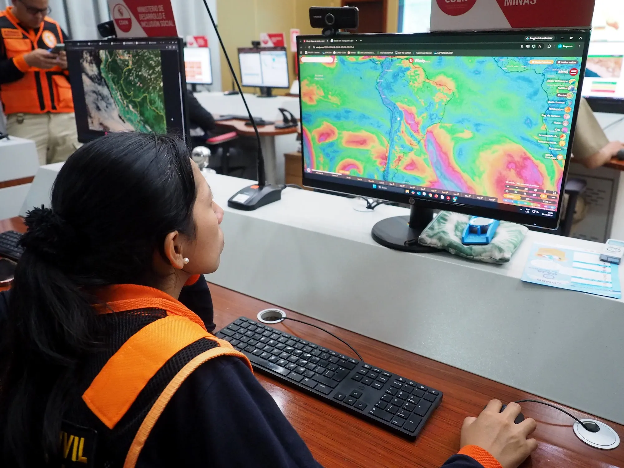
When societies are confronted with extraordinary and hazardous weather, the public and the press naturally reach for amplified language to communicate the true scale of the impending danger. Yet, finding the precise linguistic vocabulary to match ecological peril is a delicate balancing act, according to Vurdelja. Language can often prove inadequate, minimizing a profound threat through clinical understatement, or it can veer into hyperbole, potentially breeding public desensitization or fatalistic nihilism.
"It’s extremely important that the word communicates the seriousness, the magnitude, the severity of the event itself," Vurdelja explained. In her assessment, "super" hits the mark effectively because its usage has been organically embraced by both rigorous scientists and hard-news journalists alike.
What comes after “super El Niño”?
If extreme climate events of this magnitude become a regular occurrence—meaning that Pacific warming regularly spikes to 3 degrees Celsius or more above historical baselines—the linguistic tools used to describe them will inevitably need to evolve. Some scientists argue that current terminology is already falling behind the reality of accelerated climate change.
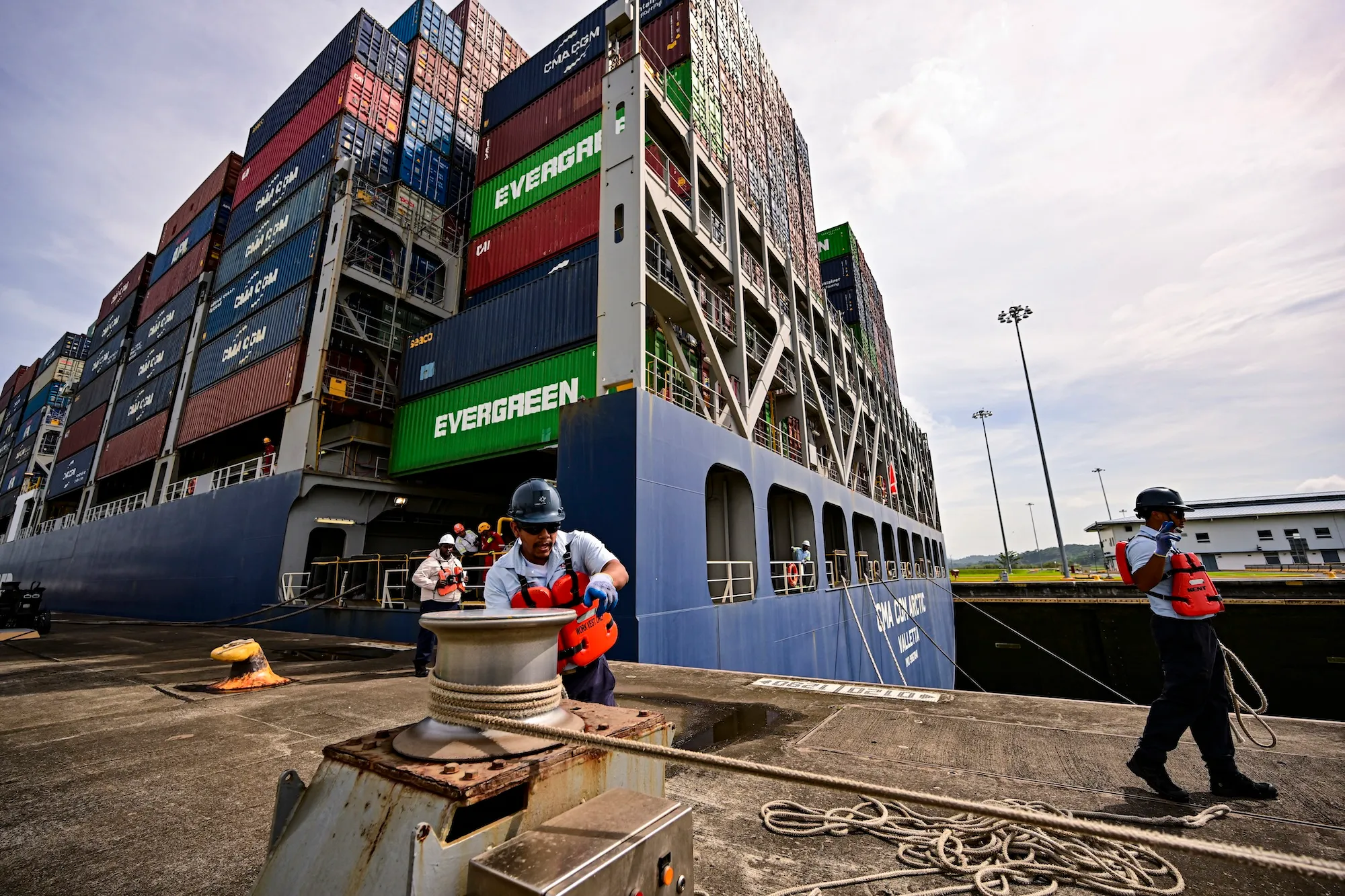
"This is going to be so far beyond a super El Niño, if the models are right, that we sort of need a new term for it," climate scientist Zeke Hausfather remarked during a recent podcast appearance on Shift Key.
As planetary warming continues to push weather systems into uncharted territory, researchers find themselves trapped in an escalating cycle of vocabulary. "We’ll need stronger words, stronger language, and that’s when we get into this spiral," Vurdelja observed. This linguistic inflation explains why frustrated climate experts have increasingly resorted to informal descriptors like "mind-bogglingly crazy" and "gobsmackingly bananas"—a phrase coined by Hausfather to describe the planet’s staggering temperature anomalies. Meanwhile, the moniker "Godzilla El Niño," frequently deployed by news outlets, was originally coined by NASA climate scientist Bill Patzert during the historic 2015 event.
Historically, the official categorization scales used by meteorological agencies were entirely adequate. "We hadn’t gotten above 2 degrees Celsius except occasionally," Jeffrey Shaman noted, explaining that the thresholds initially established by researchers seemed like a reasonable and robust framework at the time.
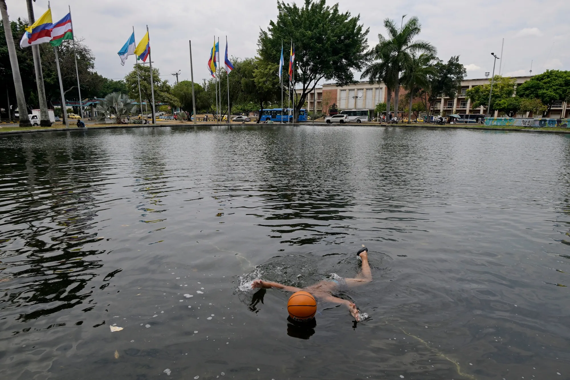
Regardless of the terminology ultimately applied by scientists or journalists, the most critical imperative moving forward is comprehensive societal preparation. Communities, governments, and industries must urgently plan for the cascading impacts of this generational El Niño, assessing what it means for global food production, regional hydropower generation, public health infrastructure, and extreme weather management over the coming year. Given that severe vulnerabilities are already manifesting—as underscored by California’s emergency declaration—for now, "super" will have to suffice.